Tunnel Springs Sunrise
I woke up early this morning, still on east coast time, and headed out to Tunnel Springs Park, which is just north of the city. The elevation up there is about 5200 feet at the trail head. The internet told me it was a good place to see the sun rise. My plan was to hike just a tiny bit on the Bonneville Shoreline Trail. There is no shore there, but they say millions of years ago this used to be lake front property.
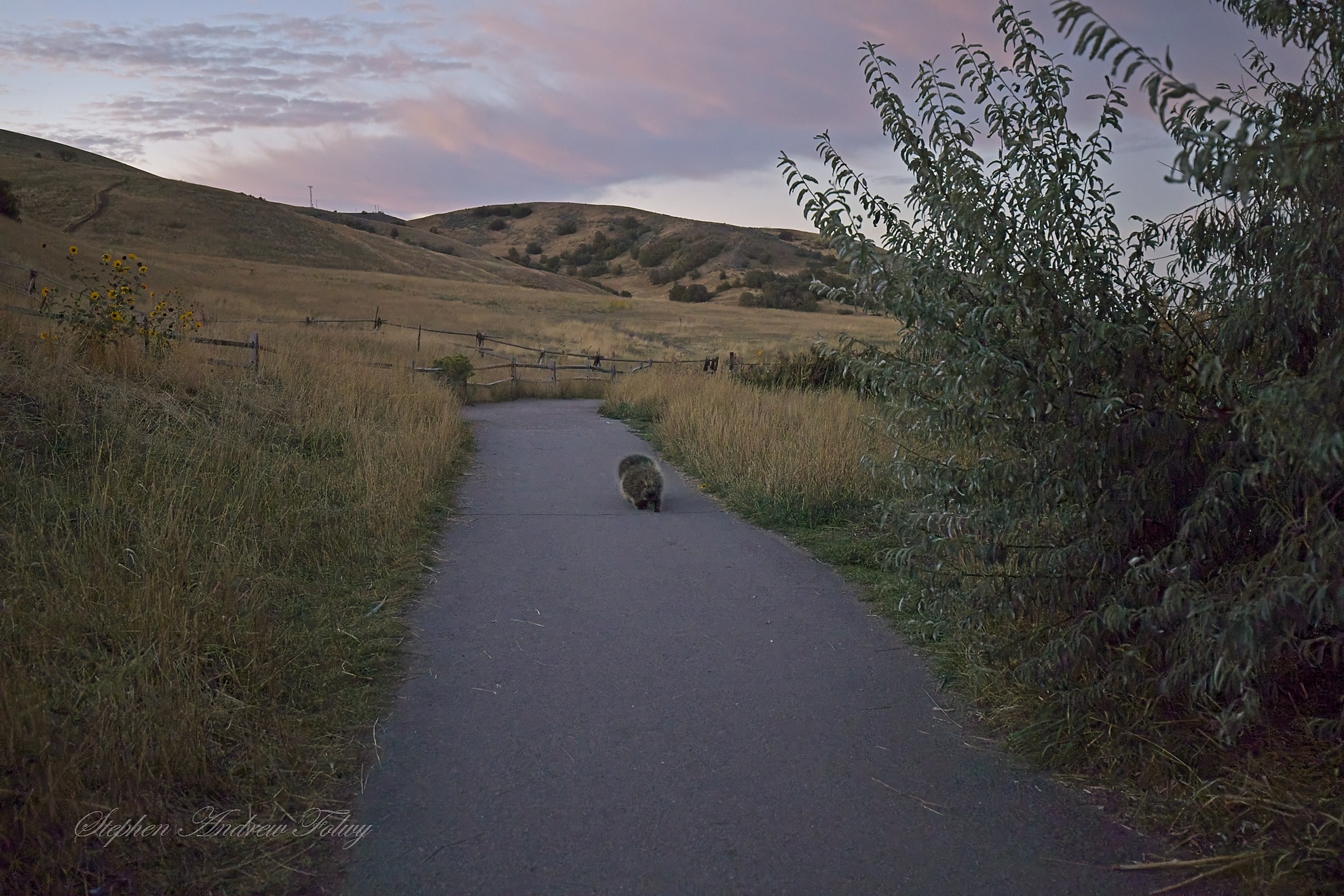
As soon as I go onto the trail, I was greeted by 2 plump little porcupines ambling up the path. They were just as chill as could be, not worried about a thing in the world with all those quills protecting them. It was still dark out, so I did the best I could to get a picture of them.
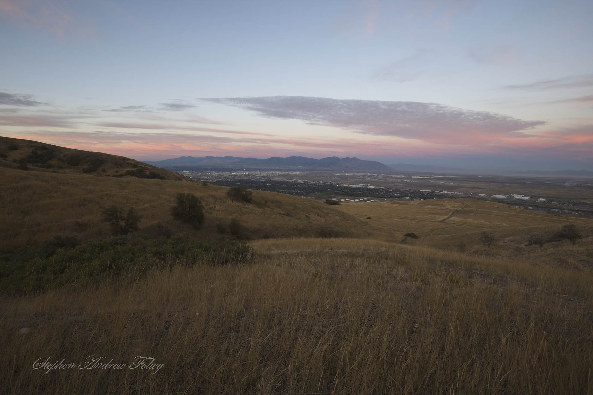
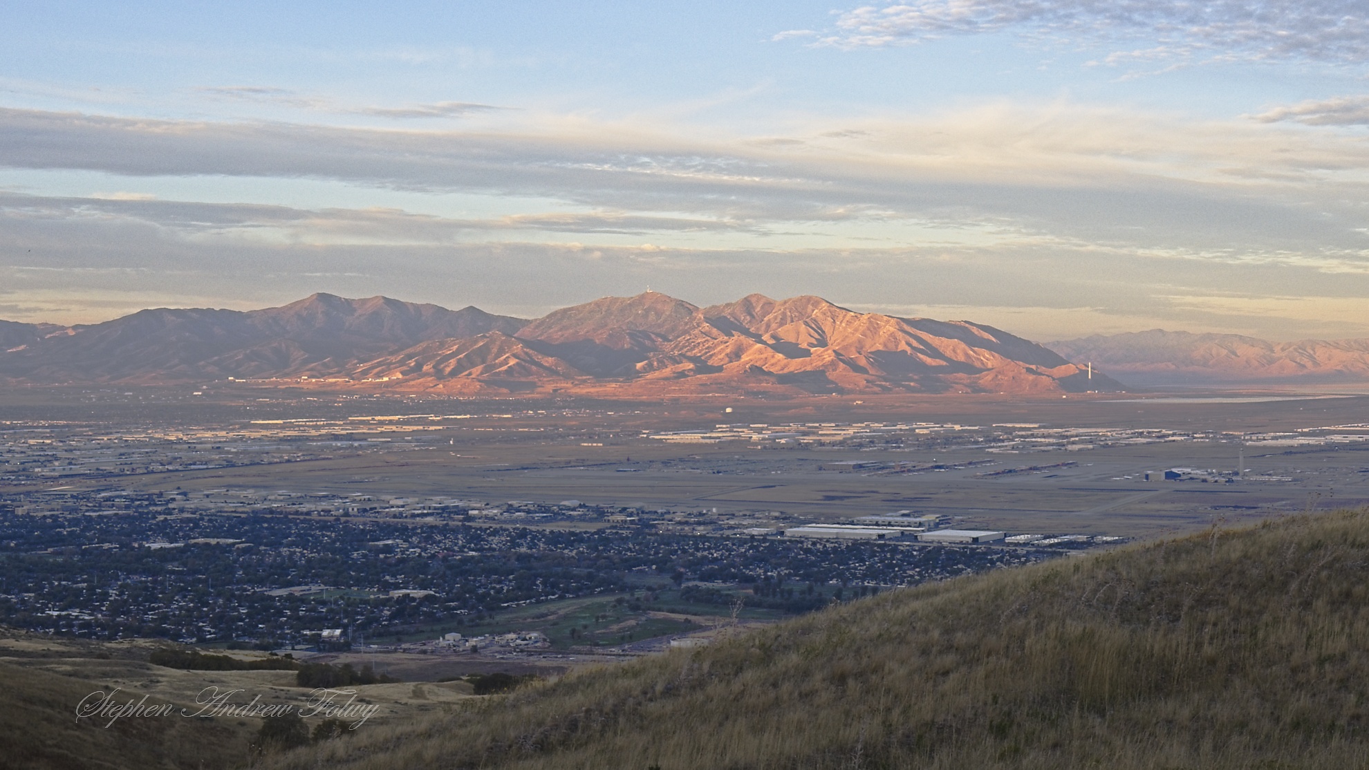
After that I wandered onto the trail and started to look for a good place to set up for sunrise pictures, having really no idea what to expect. Off to the west you can see the airport and some distant mountains. To the northwest is The Great Salt Lake, but that is not yet visible; I will need to get higher to see that.
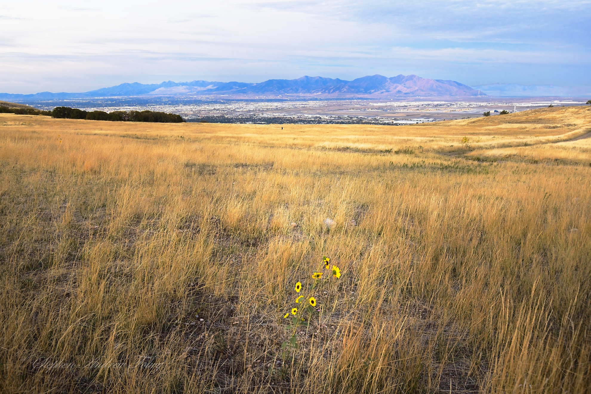
There were plenty of hills to the east, so I turned and started to make my way up those hills, trying to get a better vantage point. It looked simple enough, I would just get up to the crest of that hill and …
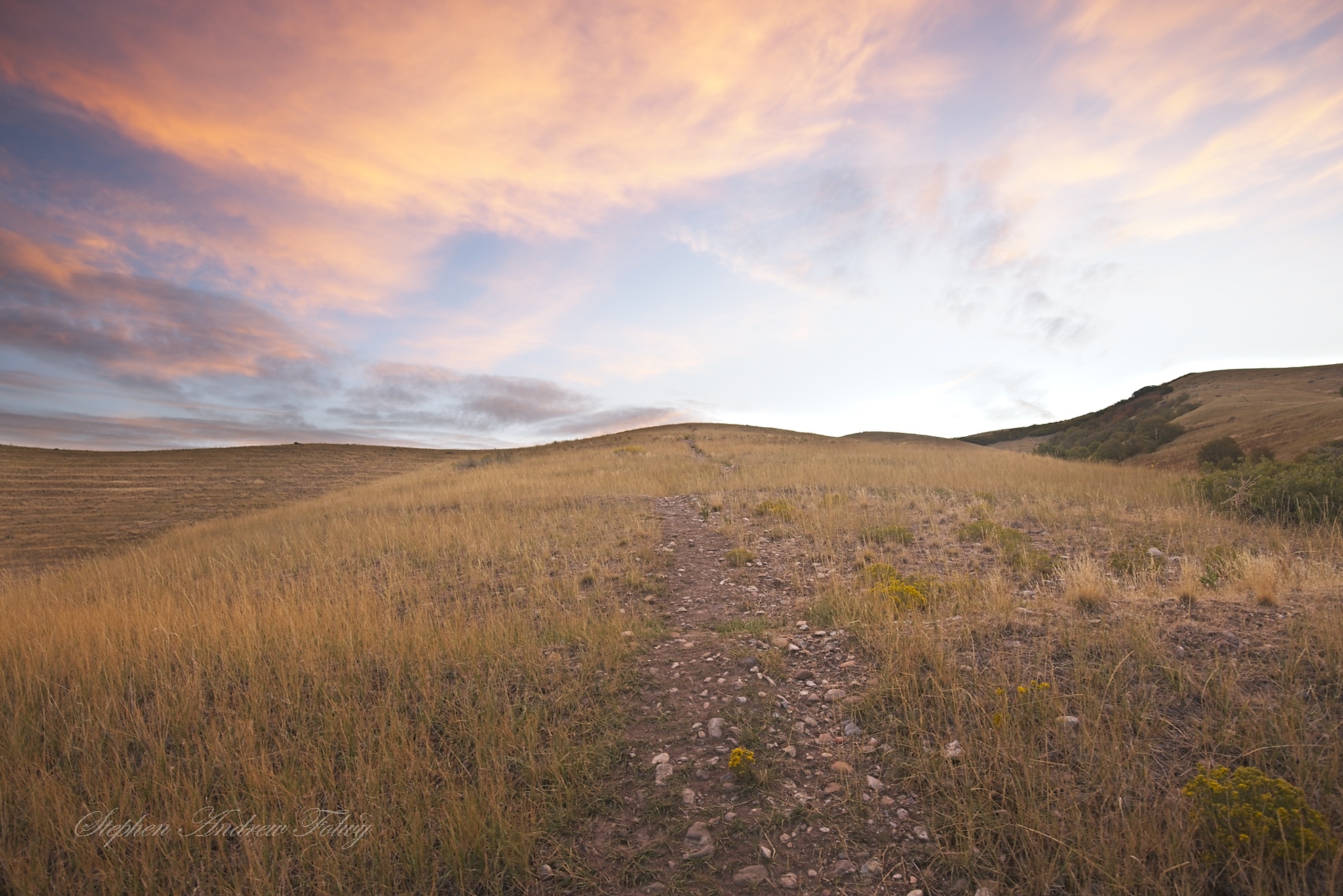
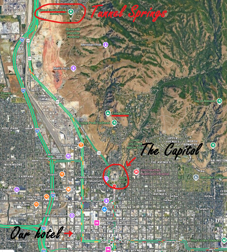
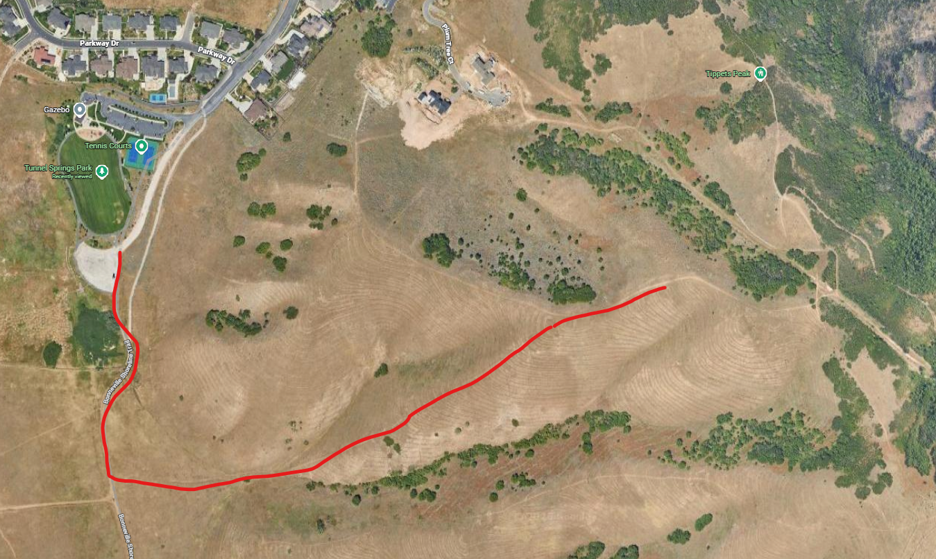
I guess I’m not used to the altitude here, because as soon as I started climbing up all the breath left me and after a few minutes I was gasping for air. Excited to see what I could see from up there, I was going too fast, so I had to intentionally slow down my pace, and take breaks. I crested the hill and at the top I saw that the path continued and there was another hill crest even higher. Well, if the view was good from here, it must be even better up there, so up I went, again. Wouldn’t you know it, when I got to the top of that I found that it was hiding yet another peak a little further up, so up I went. Then, when I crested that peak, I found one more hiding behind that, but by this time the darkness had faded and the sun was getting ready to rise and I had a feeling that there might be no end to this nesting doll set of peaks, they could go on one behind the other forever. So, I stopped climbing here. I was now at about 5800 feet. Here is the map of my hike:
Here are the pictures I took along the way.
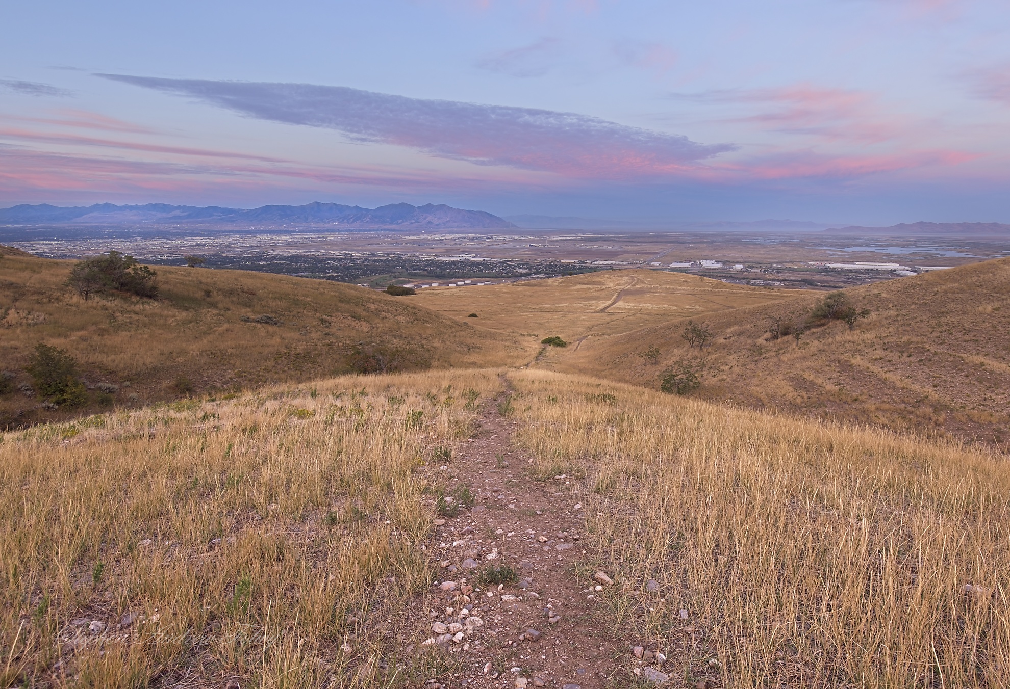
I think the picture below is from the first hilltop, you can see the path down to the main trail.
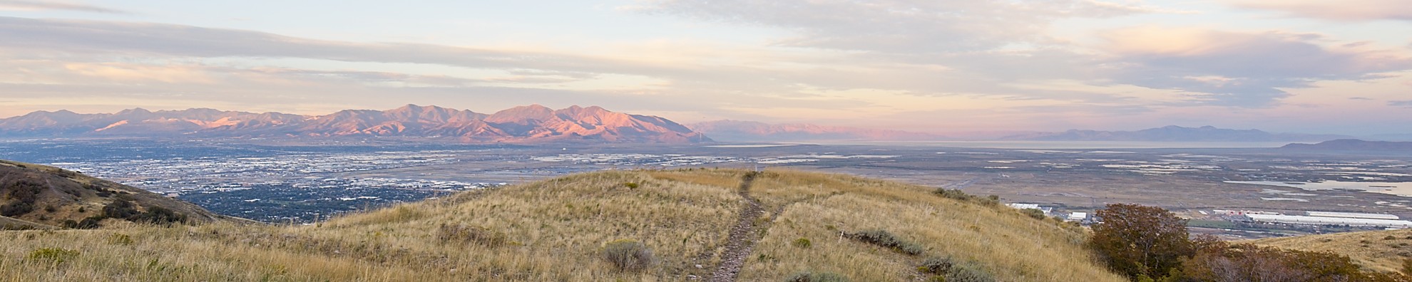
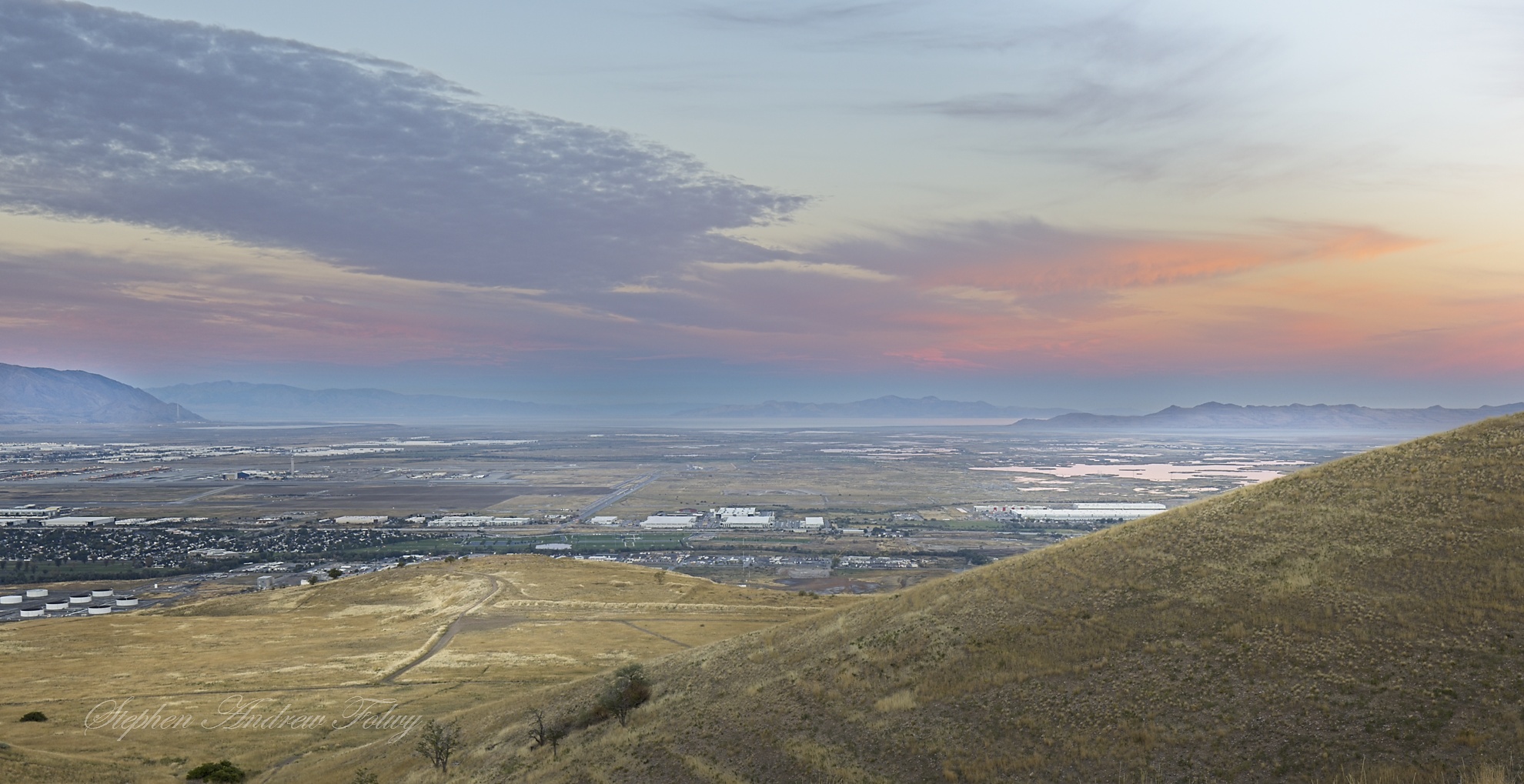
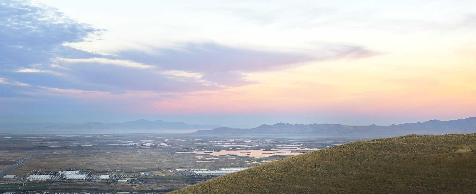
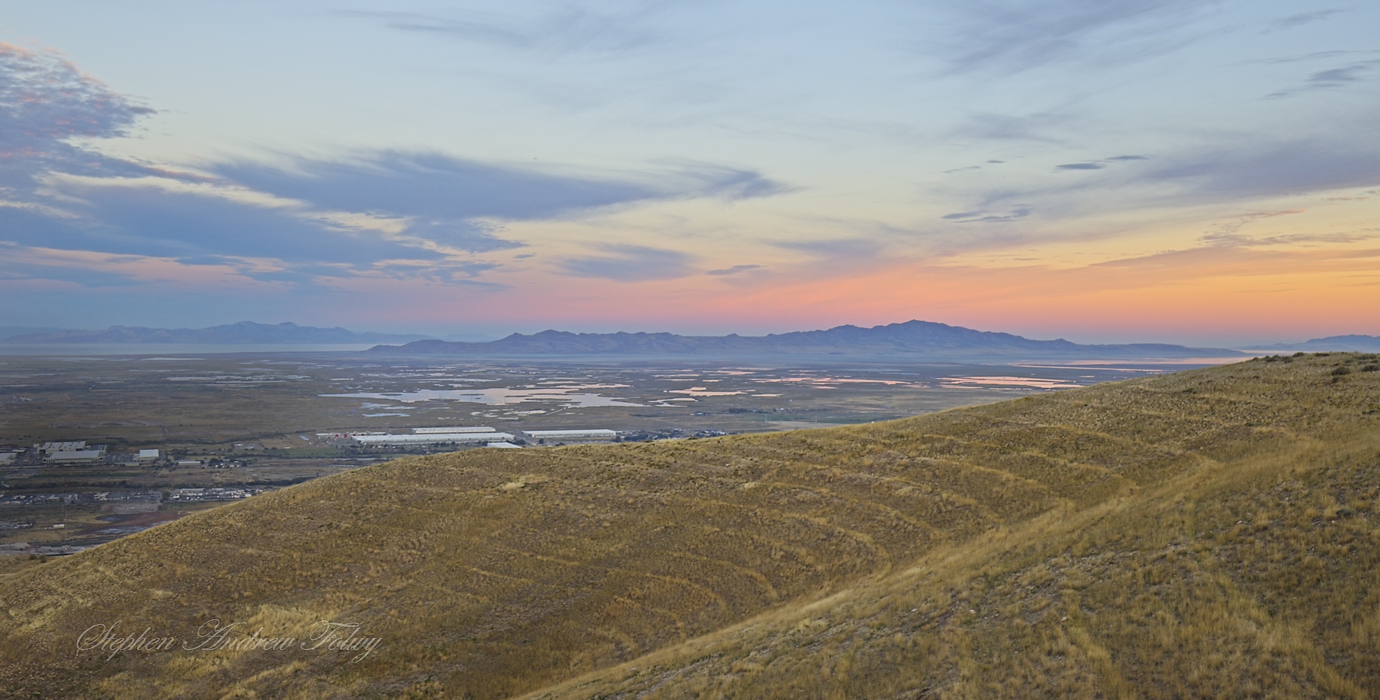
The body of water in the distance is The Great Salt Lake. The dark hills rising out of the lake on the right side of the frame is Antelope Island. Kristin and I would go there later in our trip, so stay tuned for that post. For reference, the closest part of Antelope Island is about 10 miles from where I took this picture, and the mountains behind it are about 20 miles away.
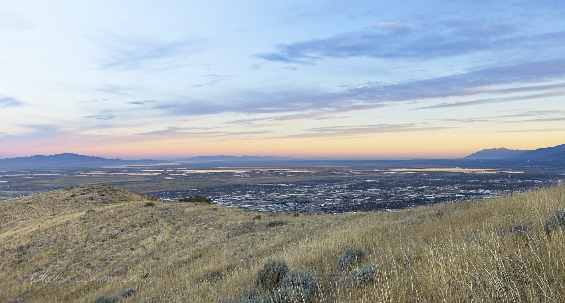
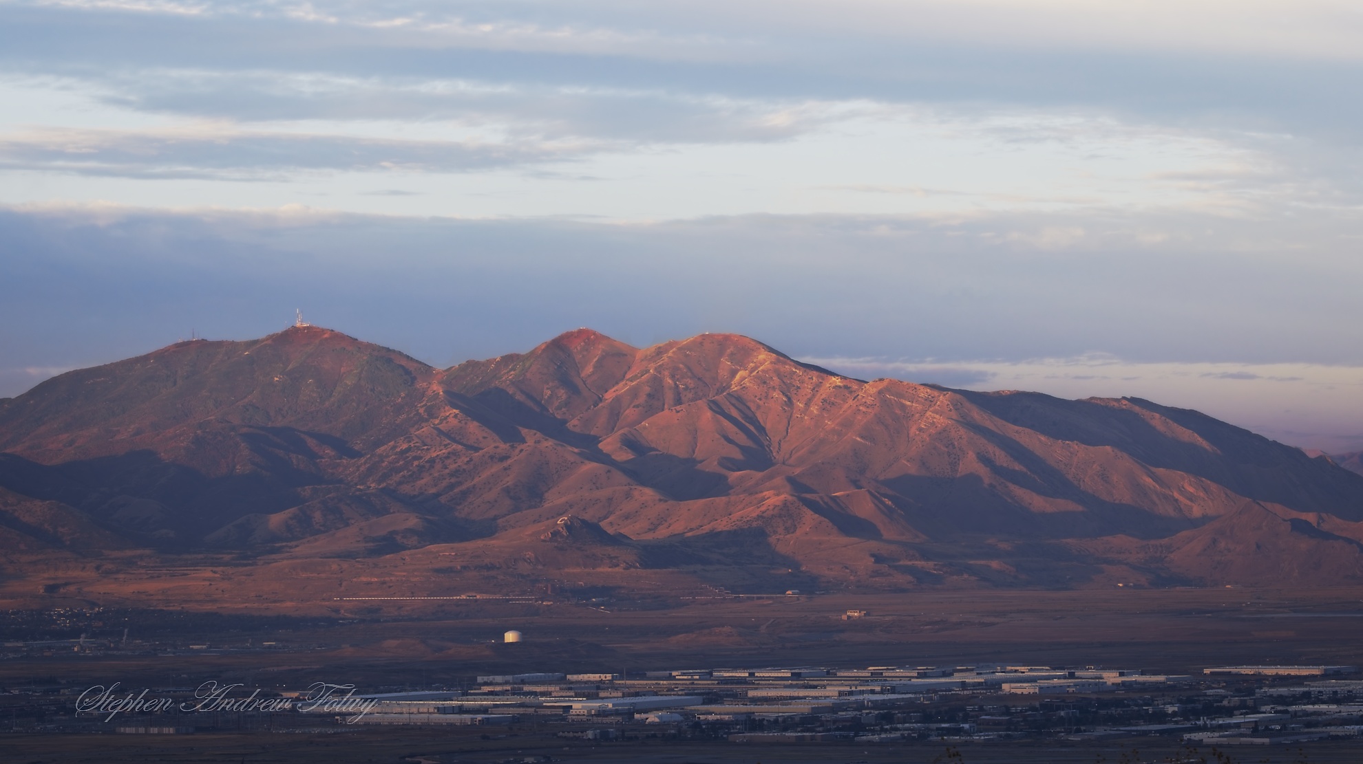
When I was up top, the mountains to the west of the city were just catching the rising sun, and gave off a beautiful alpine glow.
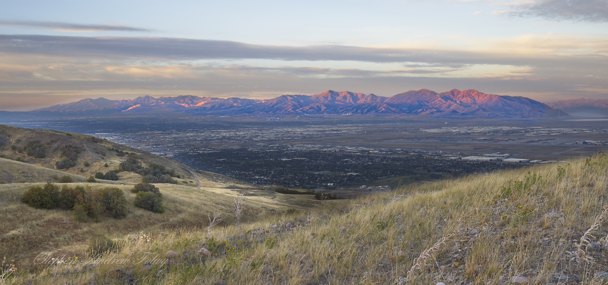
The picture below is looking to the northwest.
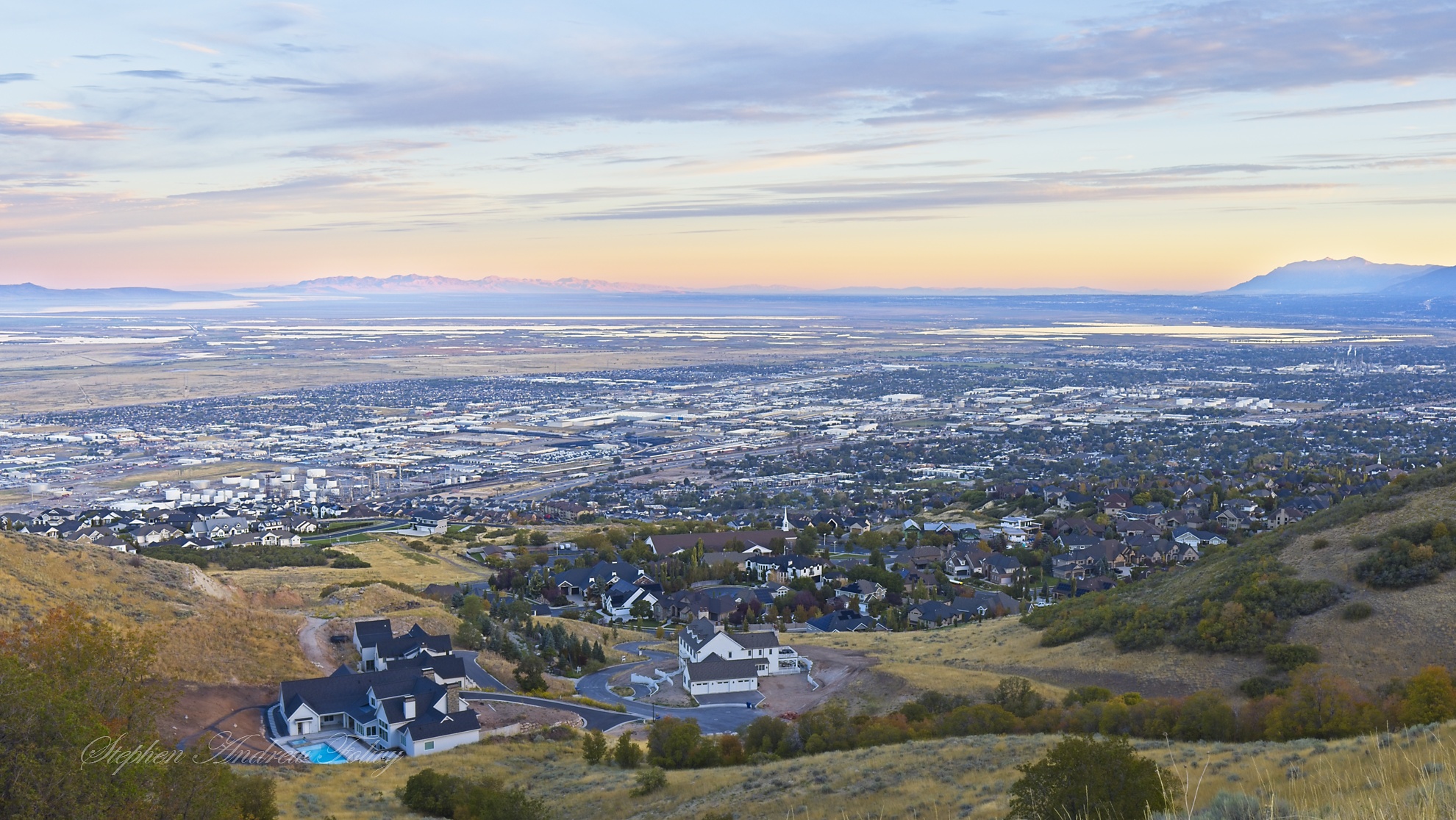
At a certain altitude and the mosquitoes started swarming me. Fortunately, I always carry some bug spray in my pack, otherwise I might not have survived this hike.
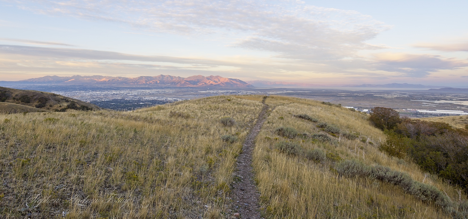
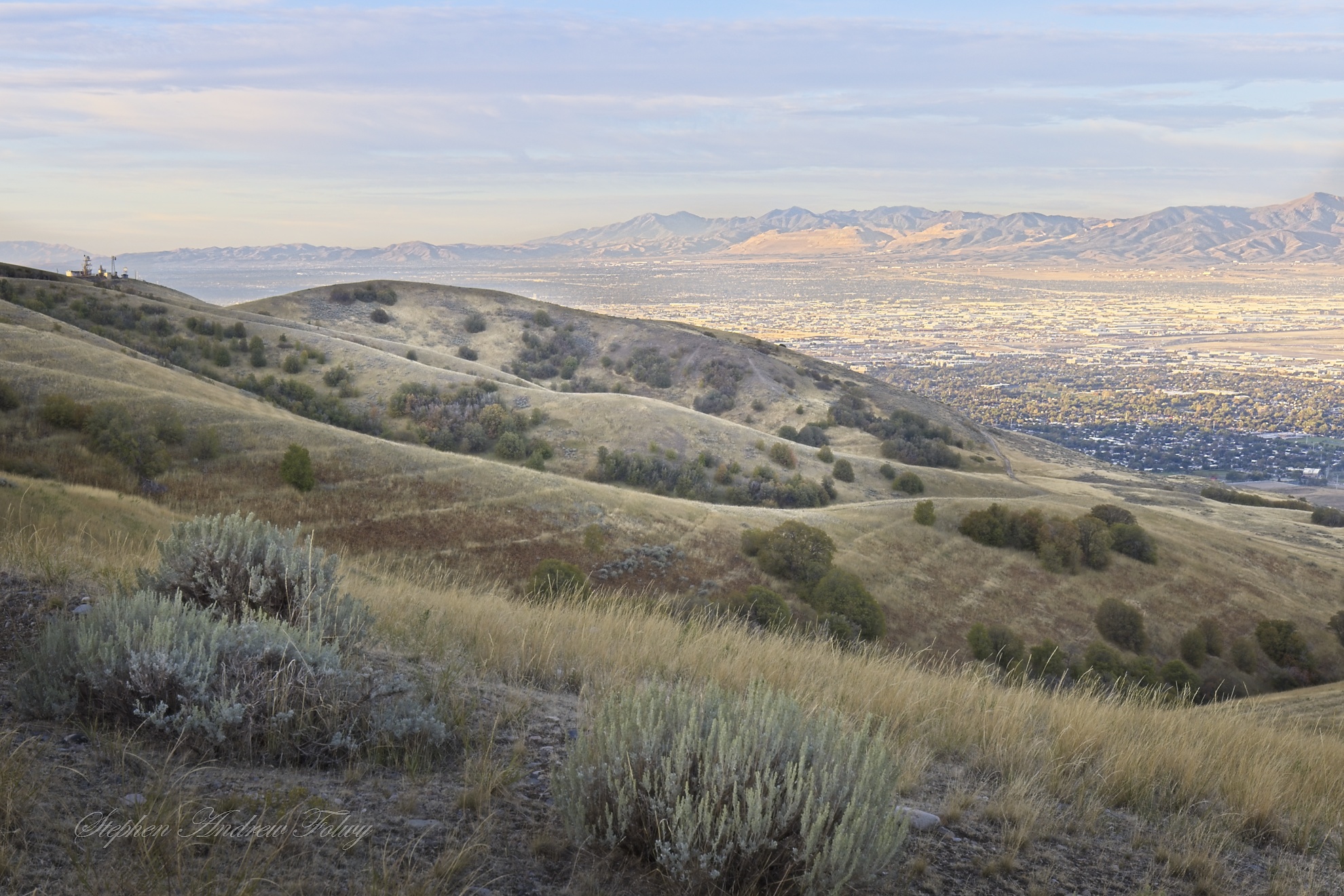
Looking back toward the city I can see the radio towers (at the left of the frame) that Kristin and I would hike toward later today; I liked it so much here I had to come back to show her. The hills ripple here, as if some giant had picked them up and shaken them out like a bedsheet.
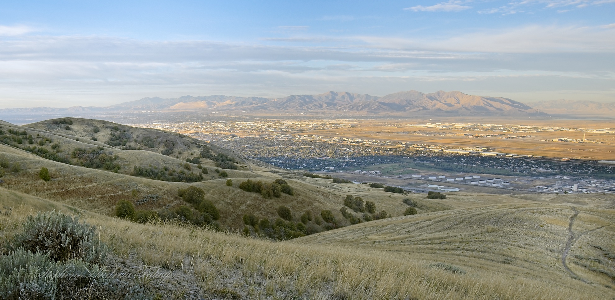
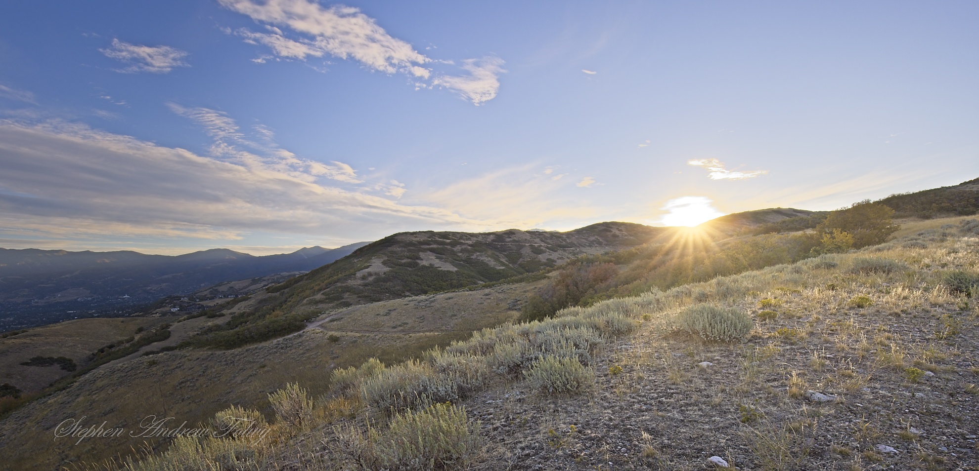
Now the sun has finally made it over the mountains. I got my pic and it is time to go home.