Switzerland Day 6
Day 6 (Friday) - Separate Ways
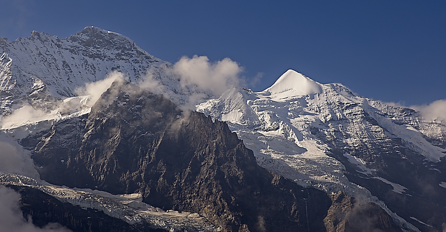
On Friday, we went our separate ways. Chris and Lori set out north for Interlaken to take a boat onto Lake Brienzersee, Paul and Katheryn headed east for Grindelwald, and Kristin and I set out to the south towards the big peaks and Jungfraujoch. In the map below South is up and North is down.

I can’t say too much about the others’ adventures, but here is some photographic evidence of their exploits:
Kristin and I were in for an Alpine adventure.
The Swiss are amazing builders and have an incredible train system, so it makes sense that they would build a train that goes up and through a mountain, taking us to the highest train station in Europe. The station is at Jungfraujoch, which is the saddle between the Jungfrau and Mönch peaks, and sits at 11,332 feet (that’s 3454 meters if you are European, and in Boston we just call that pretty frickin’ high). On its way to the Jungfraujoch, the train runs right through both the Eiger and the Mönch inside a tunnel that extends for over four miles! The tunnel cuts through the solid rock of the mountains. Quite impressive!
The map below shows the train line, however, the final leg to the Jungfrau station was never completed, so the last station on the line is Jungfraujoch Station.
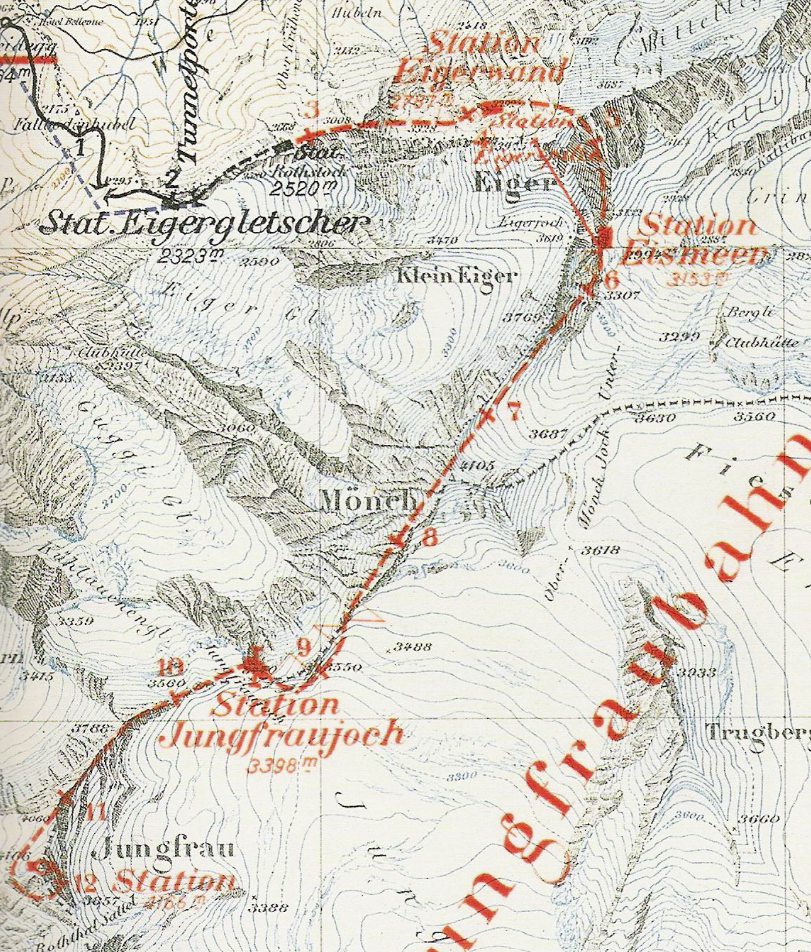
Along the way from Kleine Sheidegg station to the tunnel entrance there are some stunning views.
Then you enter the tunnel.
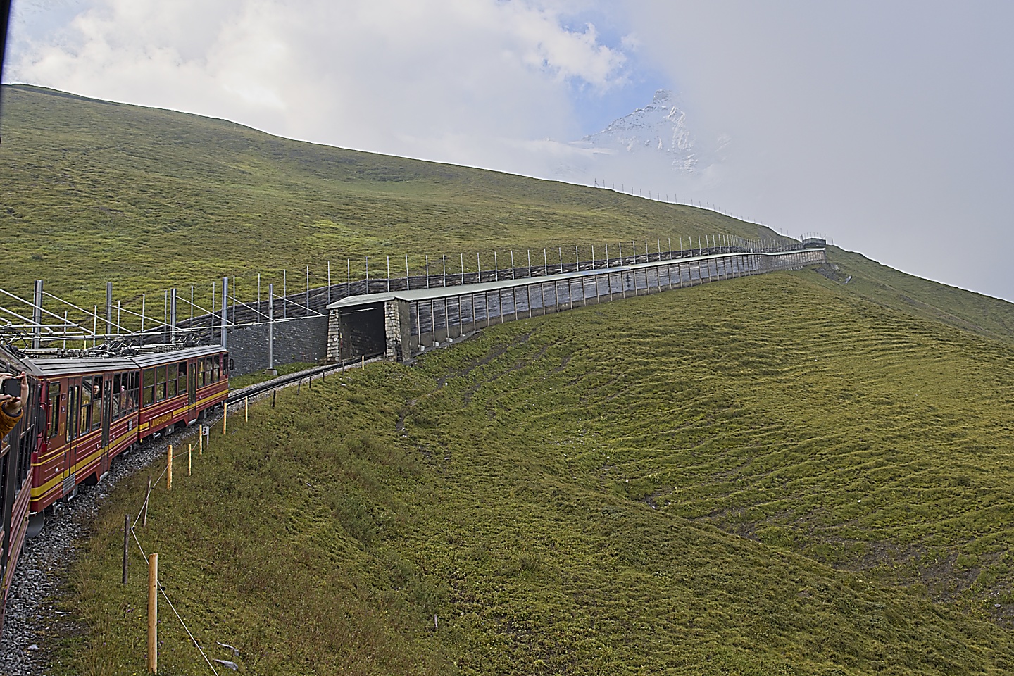
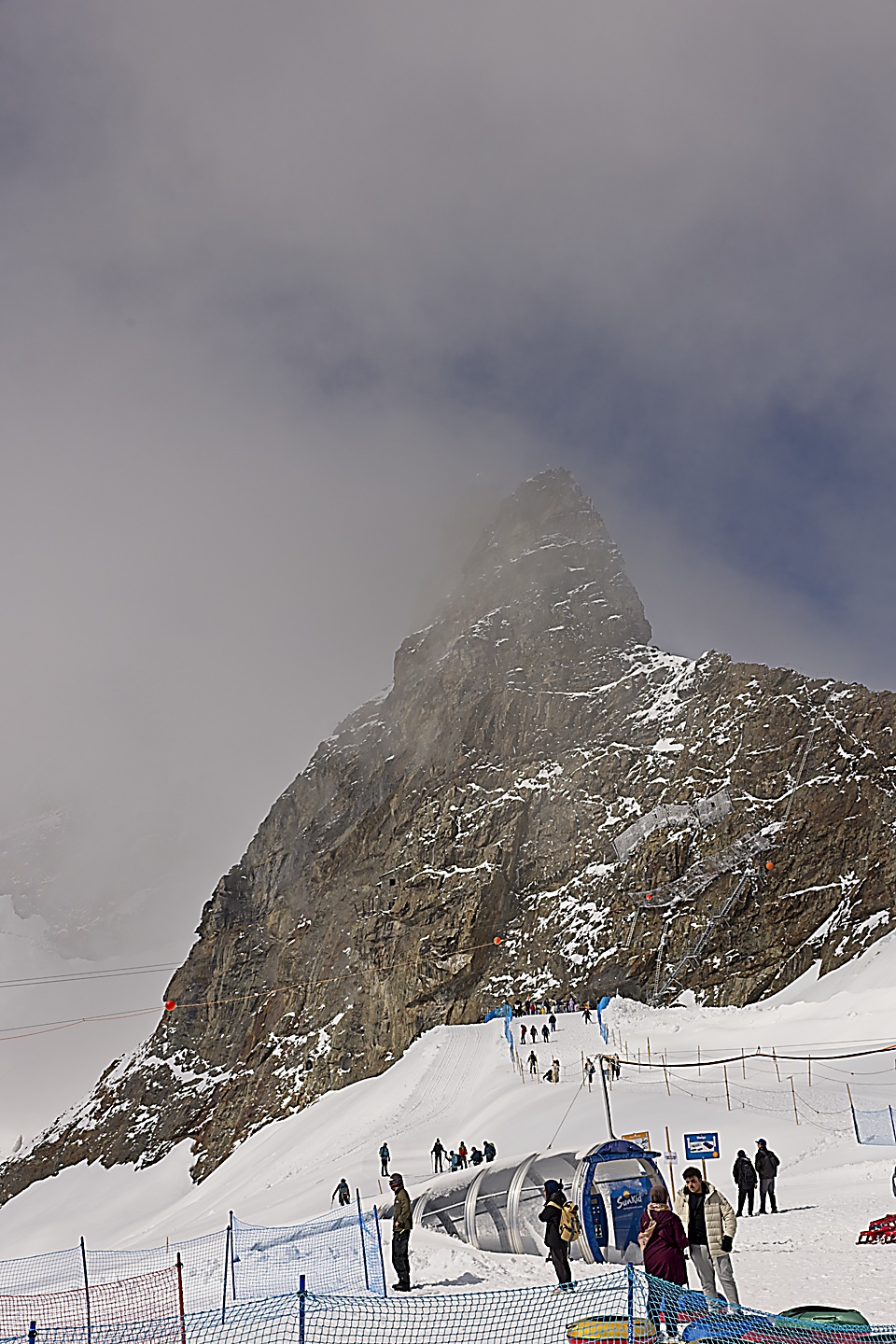
The train stops for five minutes at a station inside the mountain where you can get out and look out windows at a glacier. After five minutes everyone is herded back into the train for the final stretch to the Jungfraujoch station.
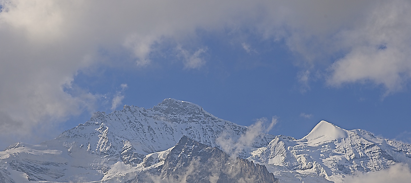
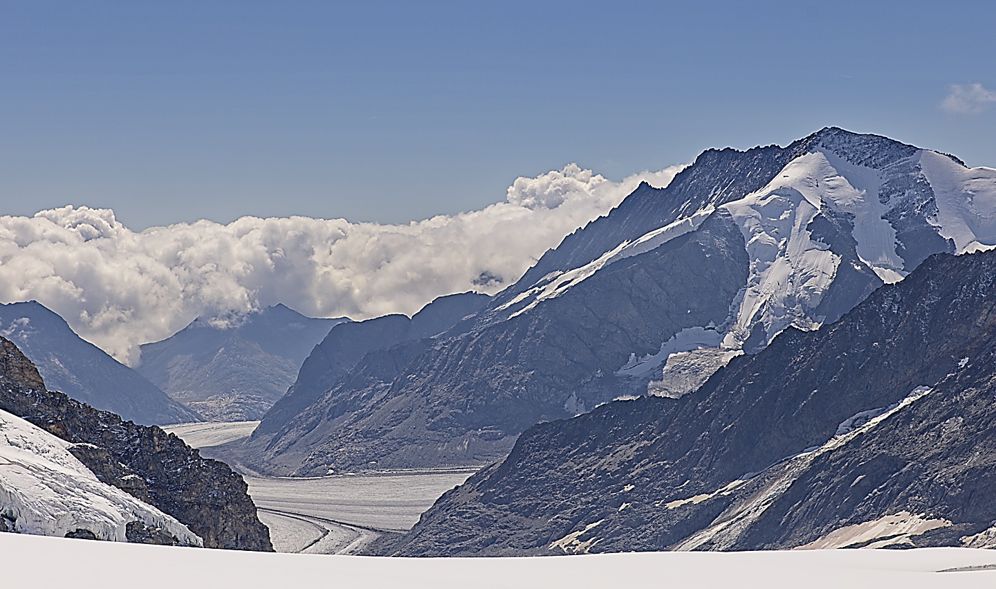
At the Joch we exited the train and were spilled out into a building of sorts that connects to a tunnel system. We took an elevator up to the Sphinx balcony where you have great views looking both to the southeast towards Italy and to the northwest back towards Lauterbrunnen. The view towards Lauterbrunnen was cloudy, but the other side was nice and clear. You could see the Aletsch Glacier, the largest glacier in the Alps.
Here is a picture of the north side, I’ll have to take their word for it that all these places on the map are out there.
This is the south side looking towards Italy. That river of ice is the Aletsch Glacier.
There is a snow tube course.
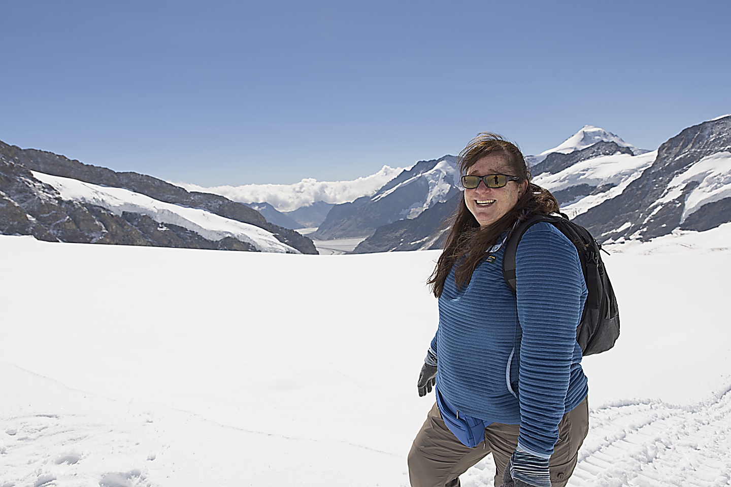
This dude decided to pay a visit and pose for me. I you look at the map below, on the left side of the map you can see the Mönch and the little trail that we would later walk on that heads out in front of the Mönch.
It wasn’t so bad when we first got on the balcony, but by the time we left it was pretty crowded.
We then went down into the tunnel system and made our way outside to the trail that heads towards the Mönch. On the other side of the tunnel system is another place to go outside and an ice palace but we never got around to seeing those.
The signage and maps are a little confusing and it took us some time to navigate around. Also, the tunnels are long. I recommend familiarizing yourself with some maps of how to get around and figure out what you want to see before you go.
We walked outside into what looked like an apres-ski party. There was a zip-line, a tubing park, tables set up, and some rocking Euro-tunes. There were people running around having snowball fights, acting like they have never seen snow before. Everyone was giddy and silly. The sun was shining full on, and it was actually pretty warm in the sun.
Kristin and I started to make our way towards the trail beyond the party, but stopped and headed back, because we both had to find a water closet. We found out that the altitude makes you pee more. Being flatlanders here in Massachusetts we weren’t used to the thin air, and it was starting to have an affect on me. You have to move a little slower, especially going up stairs or up a hill. I was also starting to get a headache.
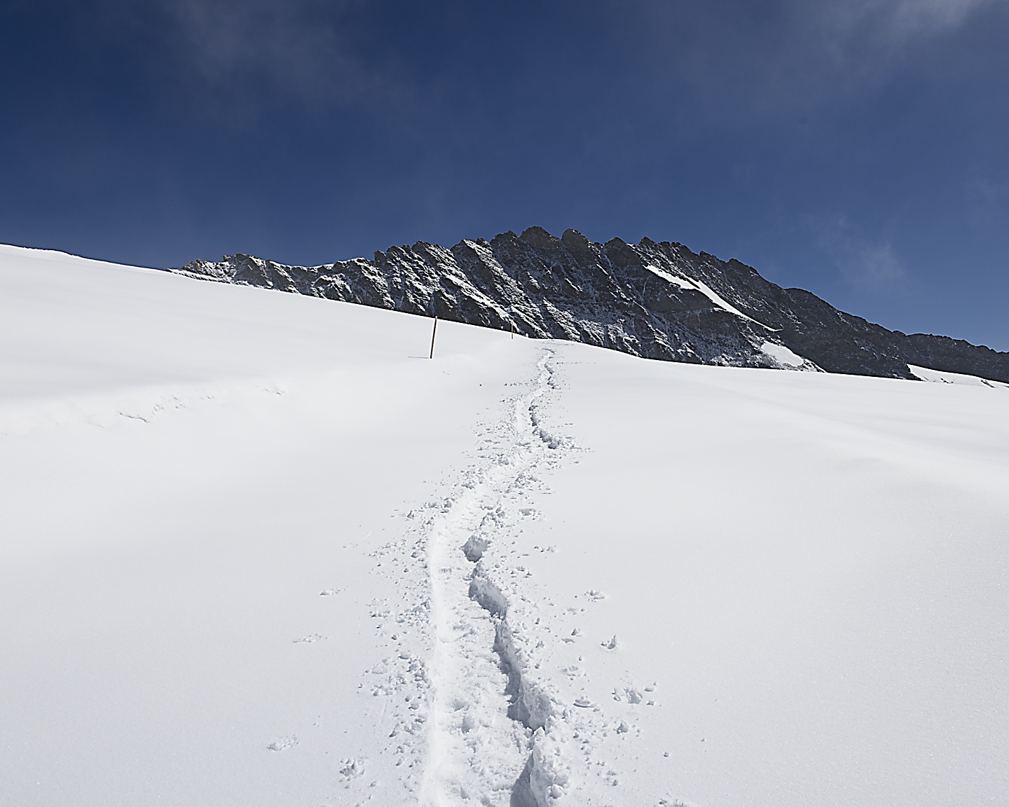
After we found the water closet and took care of business, we headed back outside. We made our way through the jovial crowds and kept walking. There is a trail that heads towards the Mönch, and we followed it. The further we went the less people there were.
The trail itself narrowed down to about 1 or two feet wide, just enough to walk on. Kristin stepped off the trail a few inches and her leg sunk down knee deep in the snow. She was still inside the ropes, but except for the little path we were on this was deep soft snow. The trail has ropes for a while and they are pretty serious about people staying on the trail, but after some time, the ropes stop and you just expected to stay on the little trail of trampled snow.
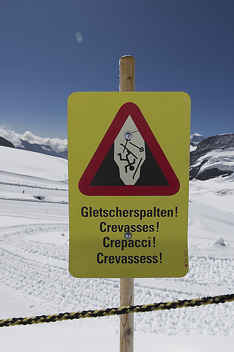
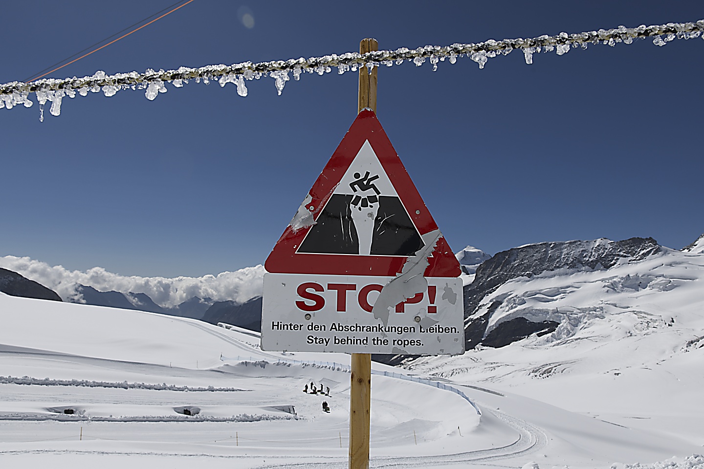
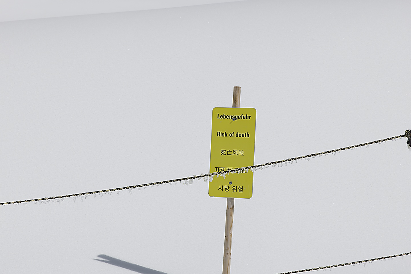
This is Switzerland, and people die in the mountains here. it is not baby-proof like Massachusetts, the Swiss rely on people having a brain and not doing stupid things. So, we stayed on the trail and continued on. It was beautiful.
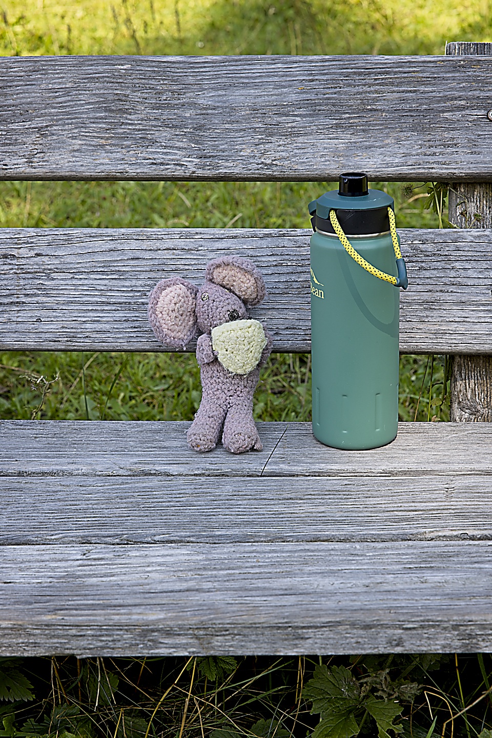
Squeaky was with us, and he posed for a few pictures. He did some climbing on the snow, at his weight there is no worry about crevasses.
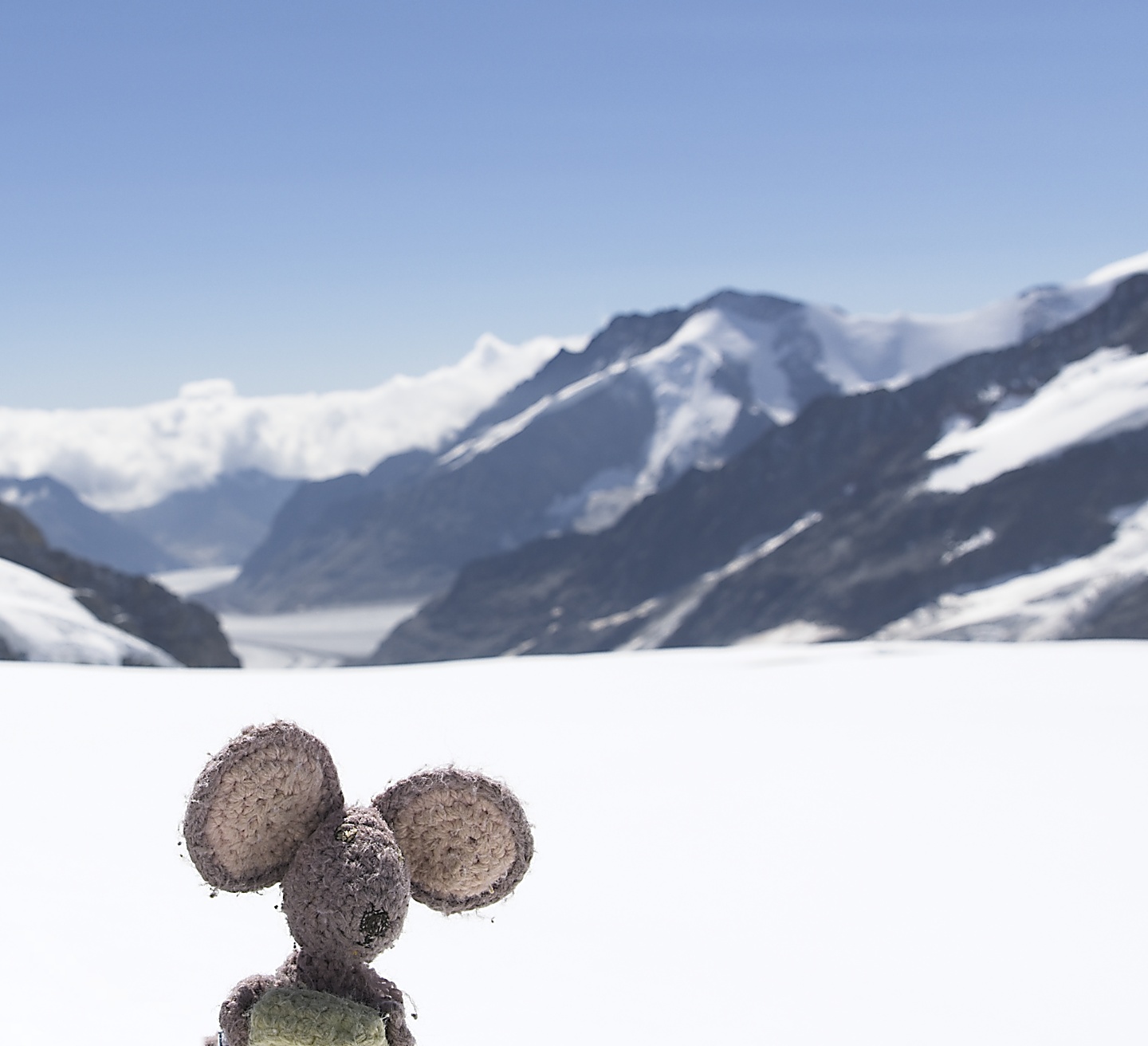
 Squeakie did a little climbing.
After walking for 15 or 20 minutes, we were far away from the hub-bub of the party scene, and felt a lot more like we were in the Alps. It was serene, beautiful, and blindingly white. We couldn’t take our sunglasses off for more than a few seconds.
We continued walking as the temperature dropped, and some clouds started rolling over the mountain ridge from the valley side.
Suddenly it felt like we were far in the mountains, the cold was biting now, we were mostly alone, but we kept walking, the view of the Aletsch glacier kept getting better and better.
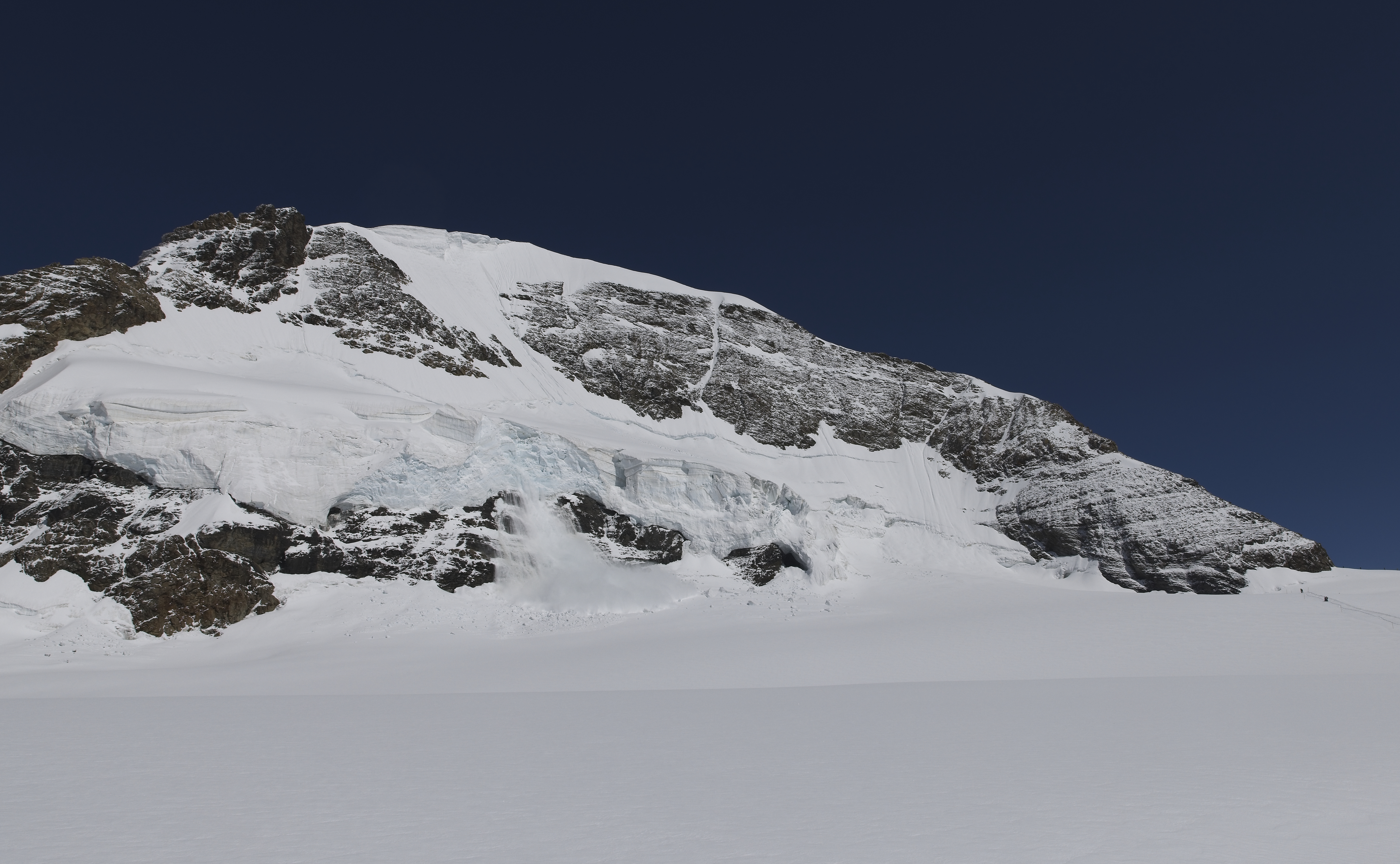
As we continued walking, me in front and Kristin directly behind me, Kristin remarked on some “blue” snow on a nearby peak. I looked and of course took a picture.
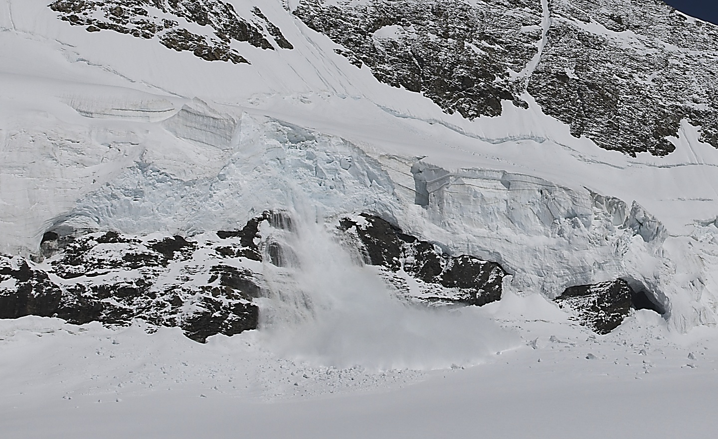
After I snapped the picture, I told Kristin, “that thing looks like it is ready to let go any minute”, then I fiddled with my camera. Just a few seconds later, while looking at my camera Kristin said, “it’s letting go right now.” Then I heard a loud low rumble and looked up. I don’t know much about mountains and snow, but I already had it in my head that the giant snow pack looked precarious, and from what I have heard, a loud rumble is bad news for those that are directly below giant snow packs . . . and that was us. The rumble continued as the snow fell in the distance. I thought for a moment, and a flash of hikers killed in an avalanche zoomed through my head. It was time to go. Kristin asked what should we do, and I just pointed and said “go, go, go.” We started to walk briskly, not too quickly, but quick enough at this altitude. The rumble followed us, still going. The risk of actual avalanche was low, so I didn’t think this warranted running or anything like that, but just standing there seemed a little dumb to me, especially not being very knowledgeable about mountains. Maybe an experienced hiker would laugh, but I am okay with being laughed at, I was concerned with being buried in snow. I didn’t want to stop to take a photo, but while walking it was easy enough to point my camera in the general direction of the snow pack and snap a couple of pictures. After all, my camera settings were set up for it already. I took two or three pics and then continued walking. Finally the rumbling stopped.
The first picture I took (above), before I said the snow looks like it is about to let go was at 12:13:19. The first picture I have of the snow falling (below) was at 12:14:11, a little less than a minute later. The last picture I have of the snow falling was at 12:14:18. I’m guessing that the rumbling lasted about 15-20 seconds. 8-13 seconds sounds about right for me to think about what to do, tell Kristin to go, and then walk 5 or 10 steps before deciding to snap some pics.
It is difficult to tell the scale of things up there in the mountains, but I estimate that snow pack to be 50 feet thick based on the ropes set up on the right in the picture below.
That settled the question of when we would head back. I had been wondering for some time how far we would trudge before turning around. When going on a walk to somewhere unknown you always want to see what’s around the next bend or over the next rise. Maybe there is something really awesome up there, something you don’t dare miss seeing. But, at some point you must turn back, and the most difficult part of the journey is deciding when to stop and head home. In this case, the mountain made that decision for us. It gave us a not-so-gentle nudge back towards civilization.
We walked back to the train station. After two and a half hours at the Jungfraujoch the altitude was getting to me, giving me a headache and light-headedness, I was just feeling very off. I wanted to descend and breathe some normal air. I don’t think I would do well on Everest which is almost three times higher than where I was! It probably didn’t help that we didn’t drink much water or eat anything. So, we ate some Landjäger and chocolate, which I think of as the classic meal for hiking in the Swiss Alps, and boarded the train to return to Wengen, but our adventures today would not end there.
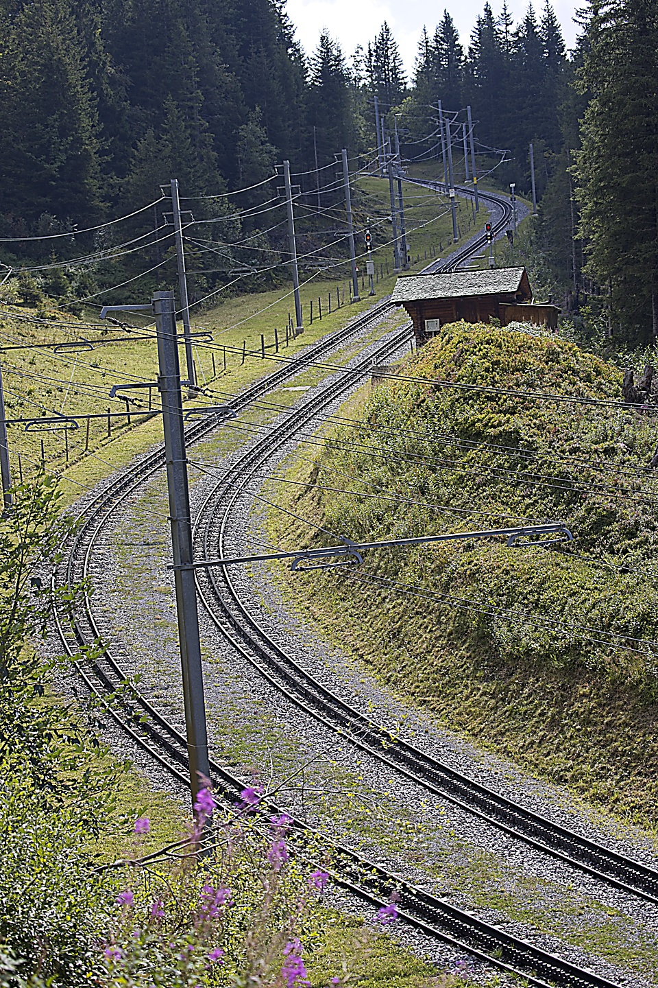
The train descends through the tunnel, then bursts into the glorious Swiss mountainside, stopping at Eigergletscher, and then arriving at Kleine Scheidegg. We had planned to make a decision at that point, we could either go east to Grindewald and see Paul and Katheryn or continue down towards Wengen. Unfortunately, the cable car to Grindewald departs from Eigergletscher, not Kleine Scheidegg. So, I screwed that one up, and now we were committed to headed back to the condo at Wengen, and so we boarded the Wengen-bound train. Another decision made for us, this time by my inattentiveness.
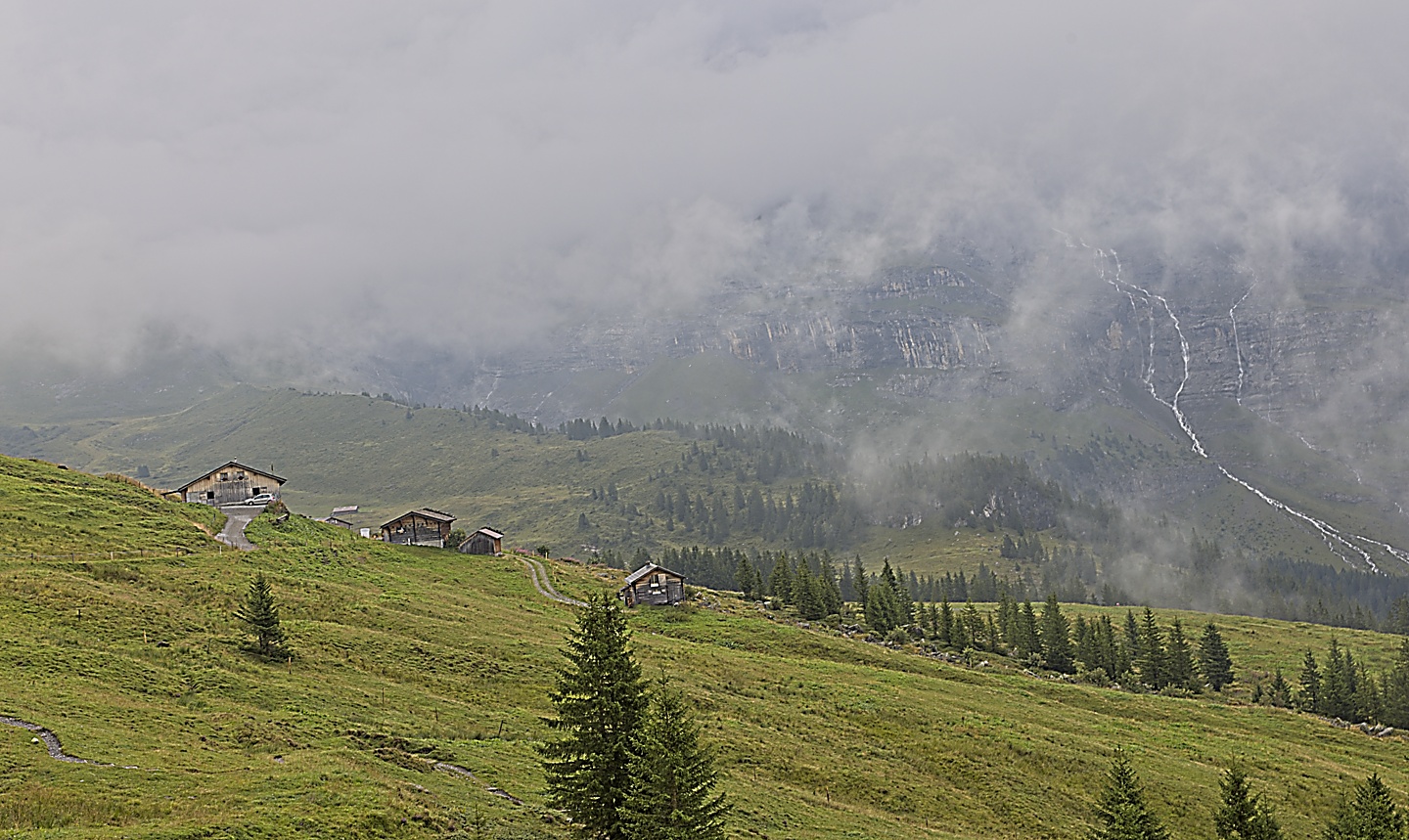
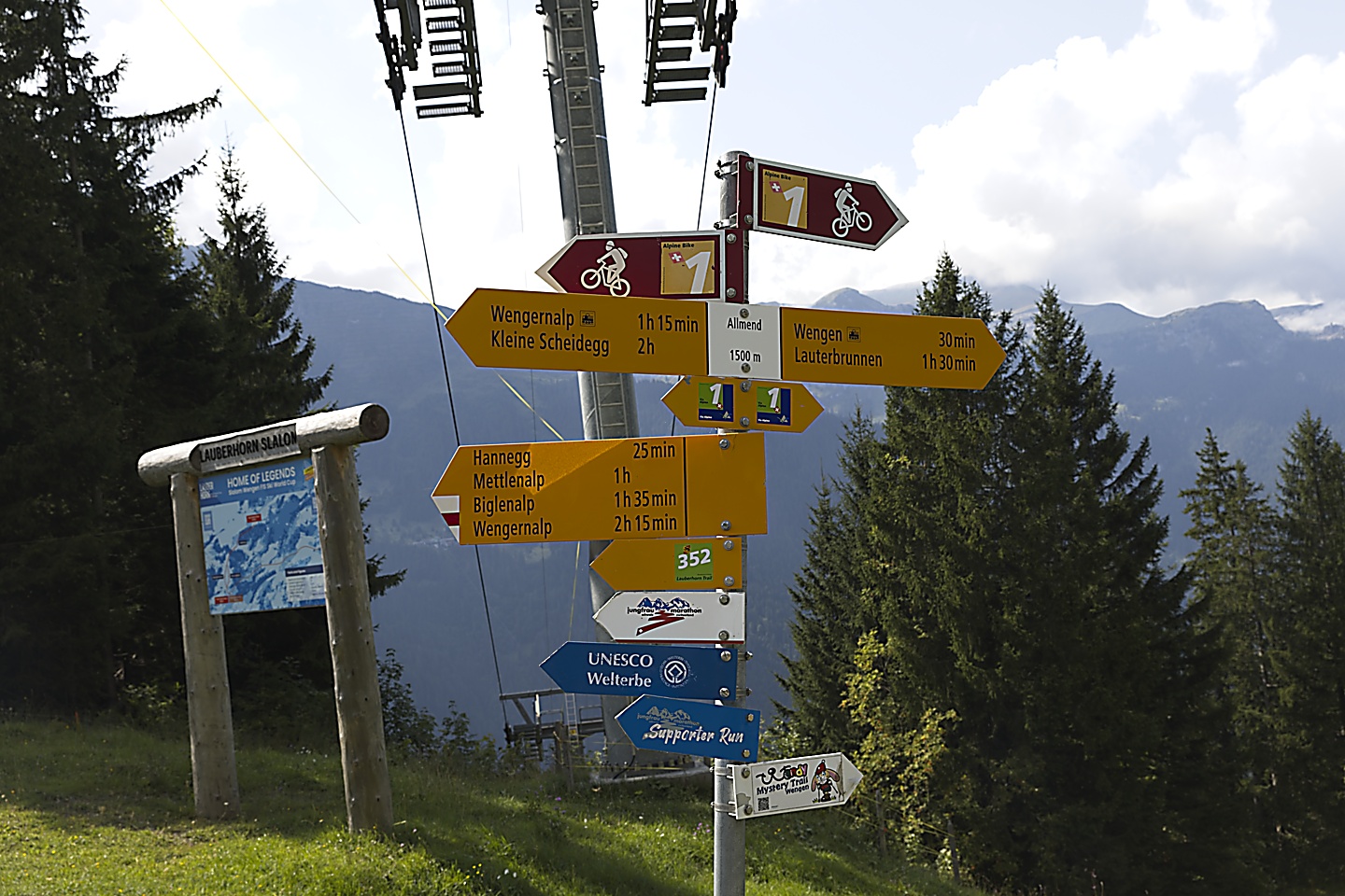
As the train descended towards Wengernalp on the way to Wengen, we were in awe of the scenery that we could see through the train window, and we decided that we had to get out and get into that landscape. As the train pulled up at Wengernalp we made our way to the door where we asked the conductor about the area. He said it was about a two hour walk down to Wengen, looked us up and down, then added, “maybe two and a half”. He also told us about a place nearby where you could see how Swiss cheese was made. We decided to definitely get off the train with a tentative plan to take some pictures of the scenery, find the Swiss cheese place, and then get back on a later train.
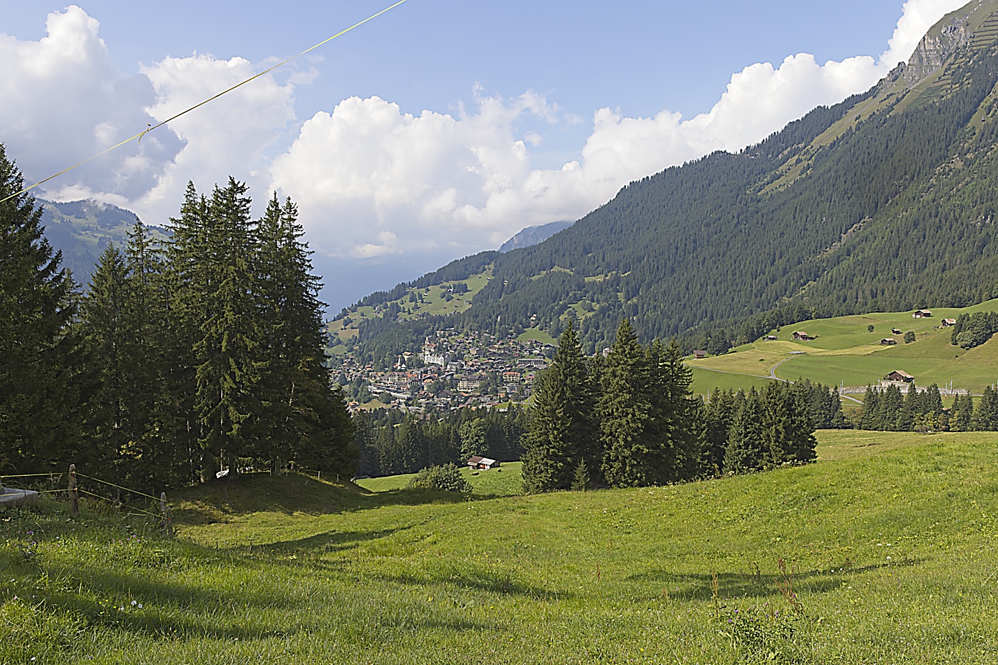
Here are some of the pictures of the magical scenery that got us off the train.
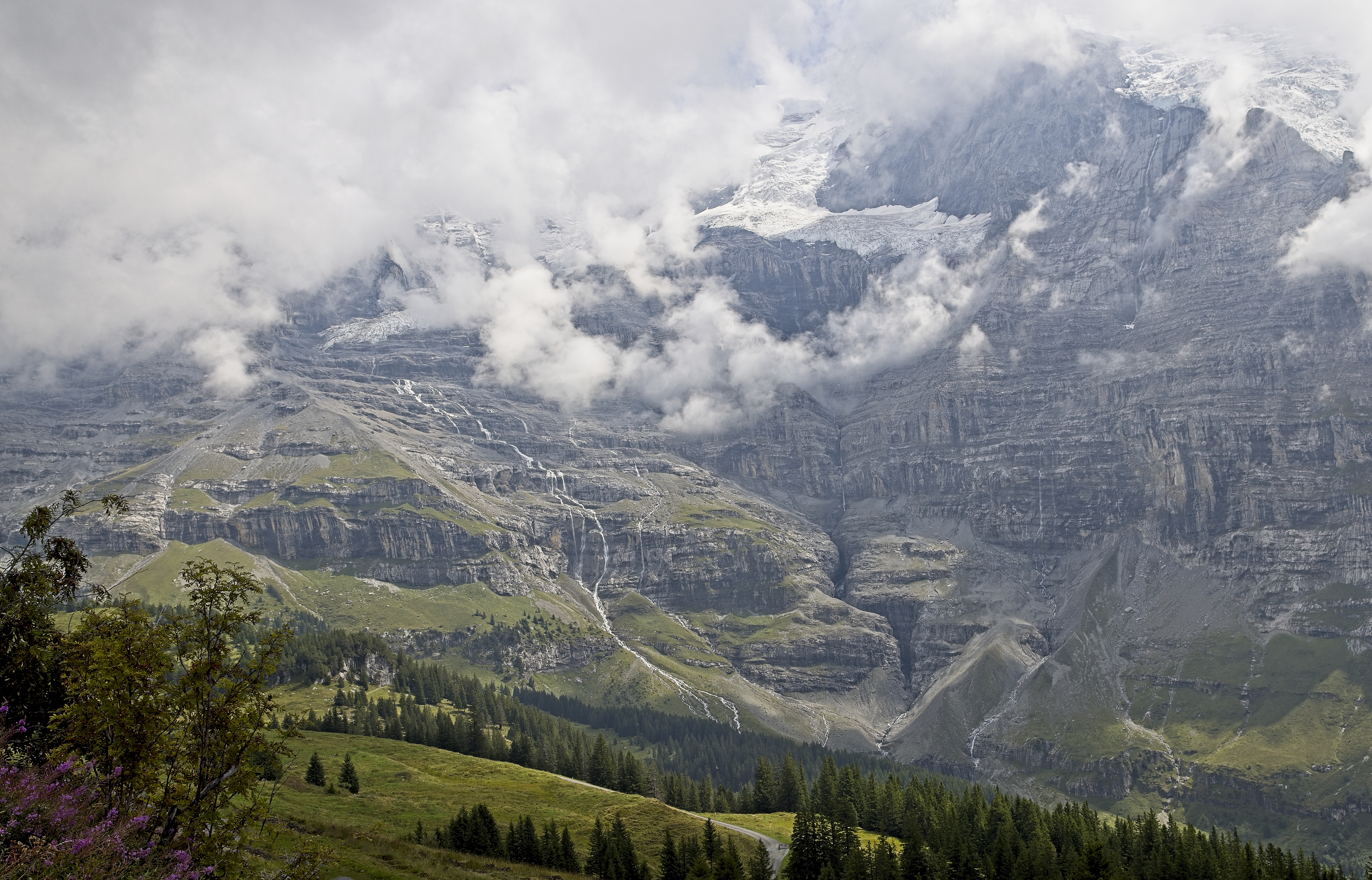
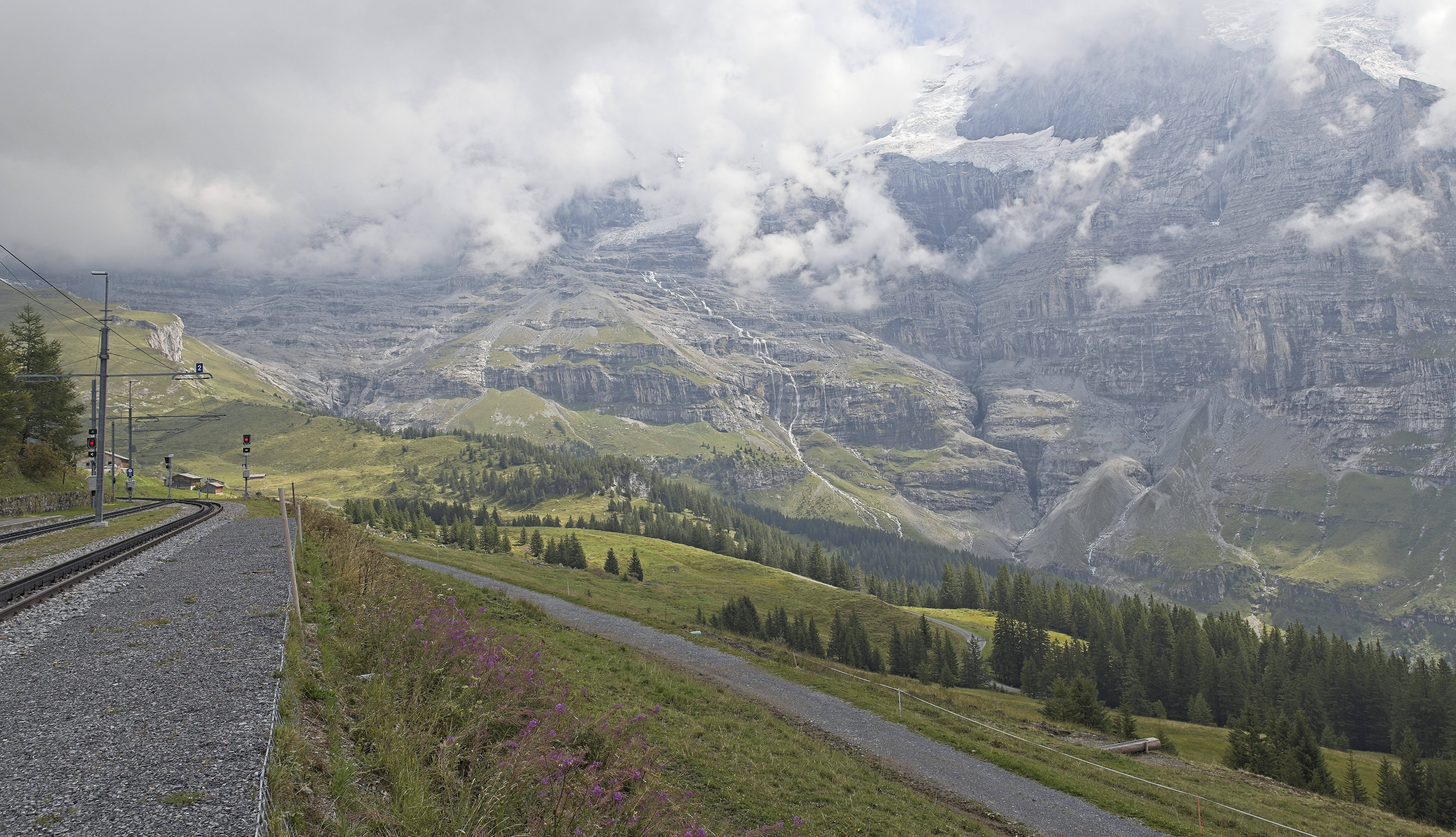
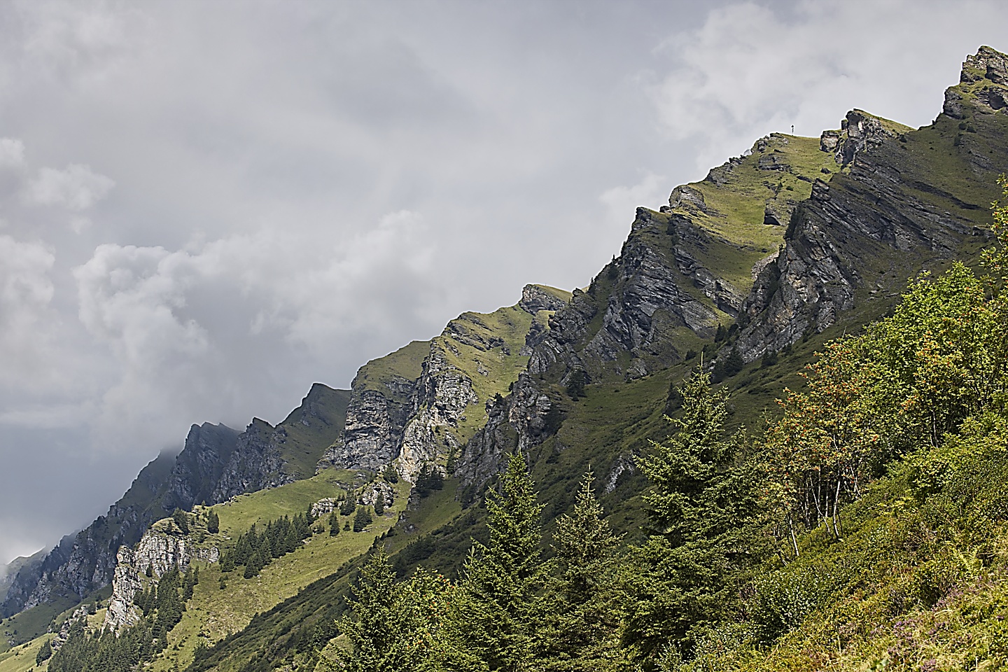
The pictures can’t do justice to the landscape, it looked like something out of a fairy tale. They say that JRR Tolkien visited this area prior to writing the Lord of the Rings, and I can see how it might of inspired him to come up with such fantastical settings for his trilogy. Take a look at the trees at the base of the cliff, they are like little dots. That gives you an idea of how huge the cliff wall was, it reached right up to the clouds.
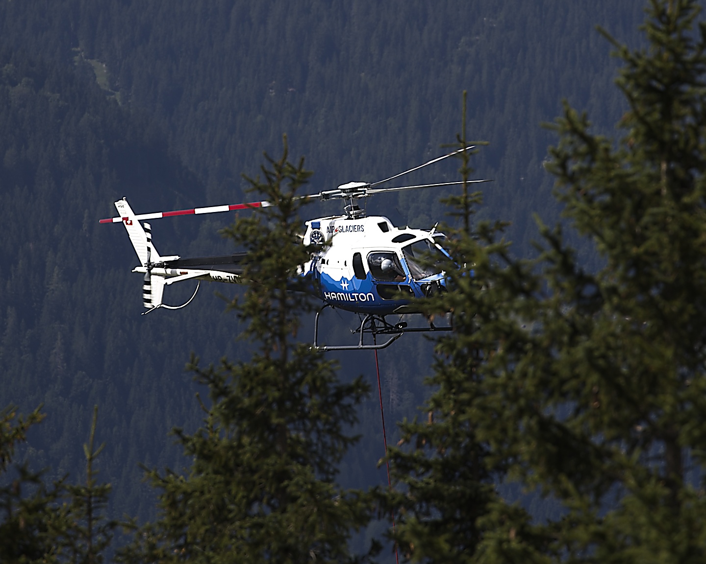
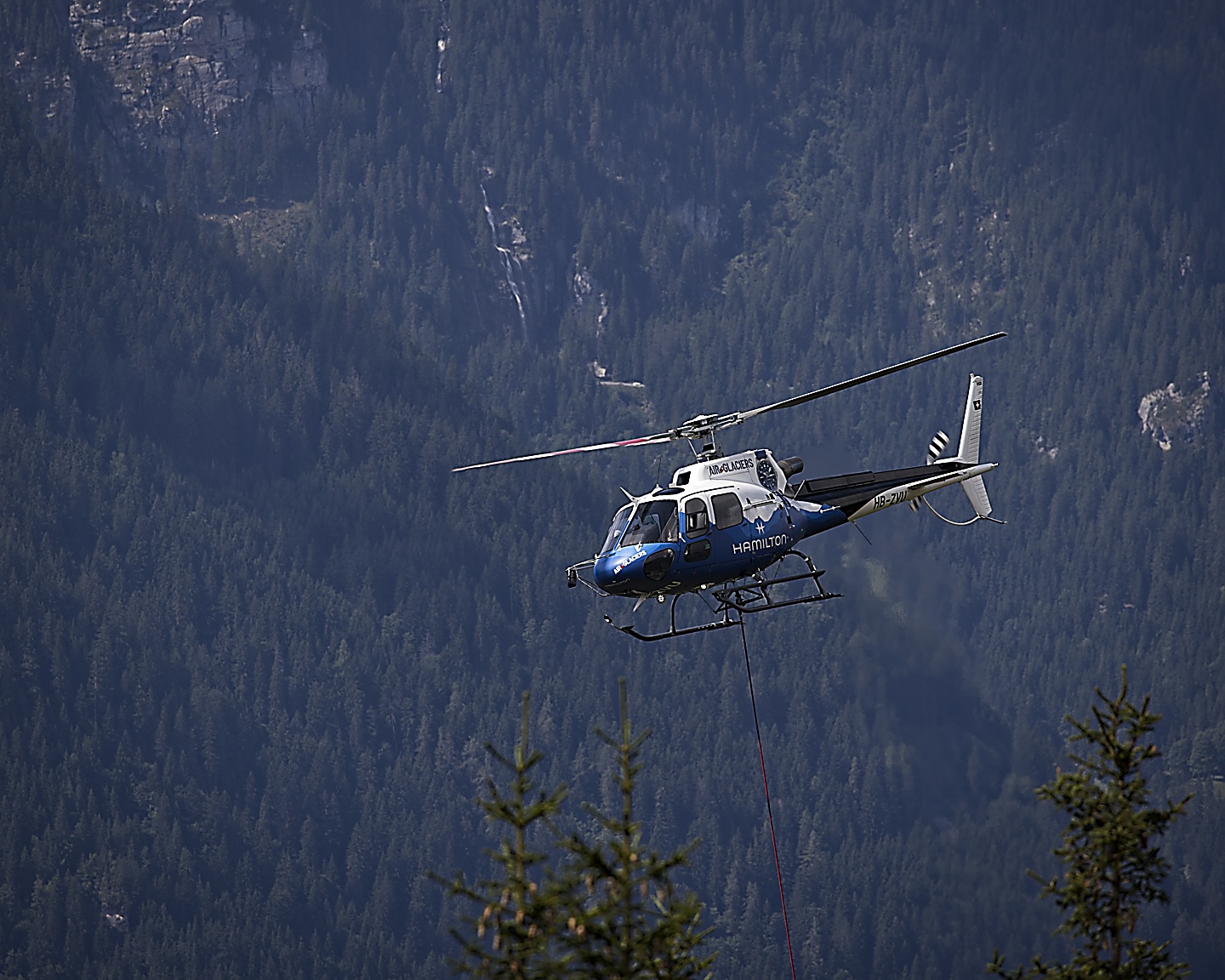
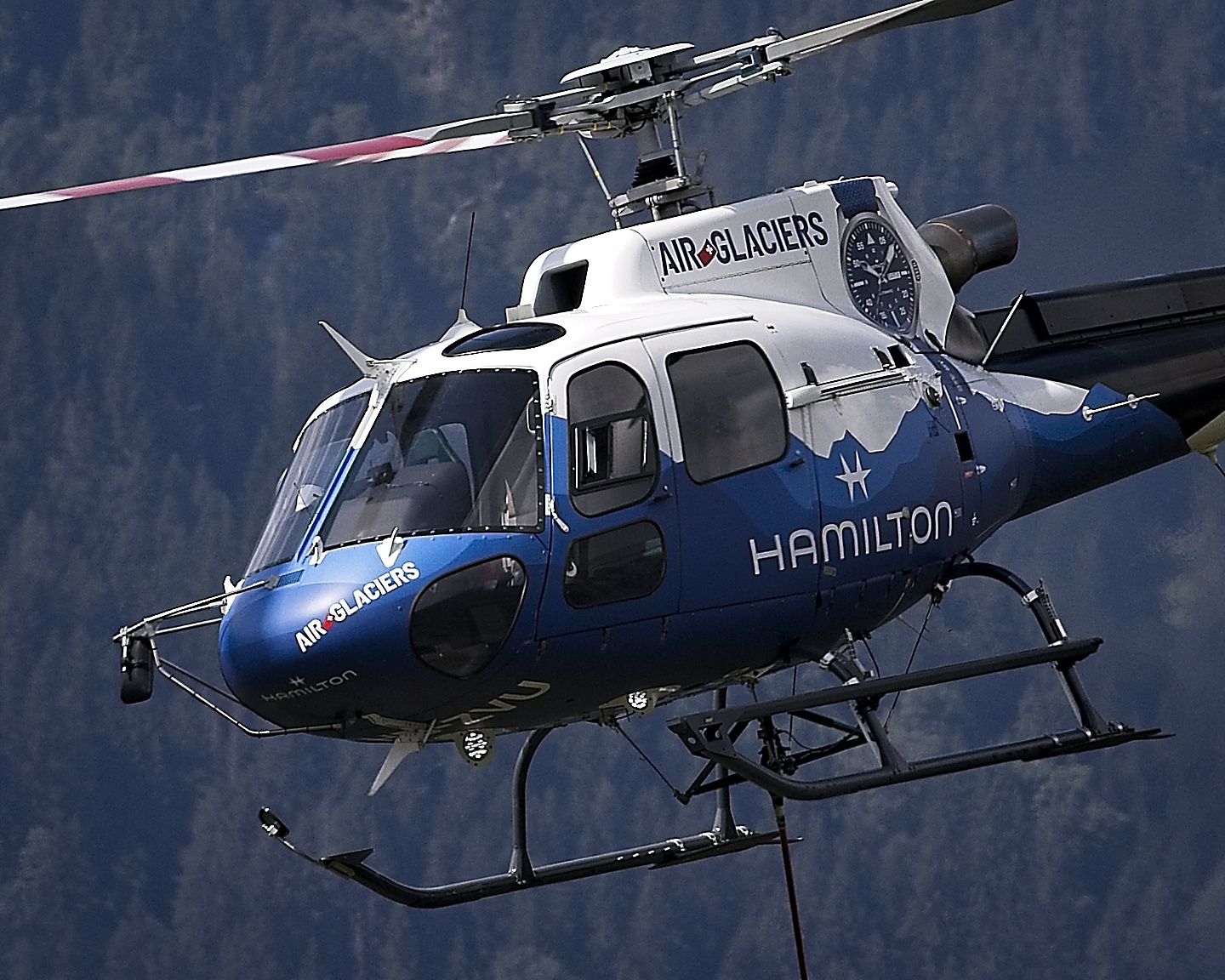
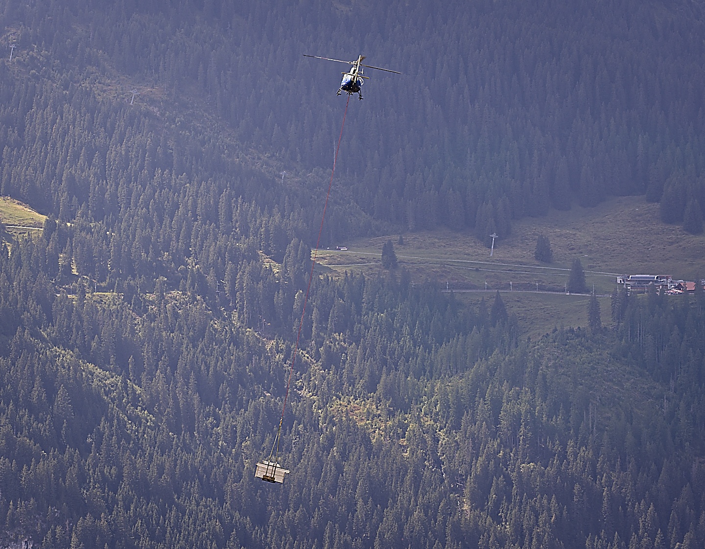
We couldn’t find the Swiss cheese place, but spotted a helicopter up ahead, so we walked to a spot that allowed us to see what that helicopter was doing. Apparently, it was moving some materials up the mountain, going back and forth.
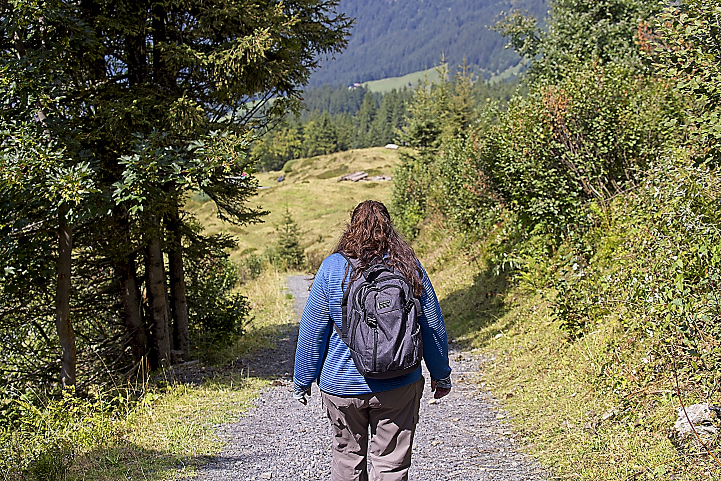
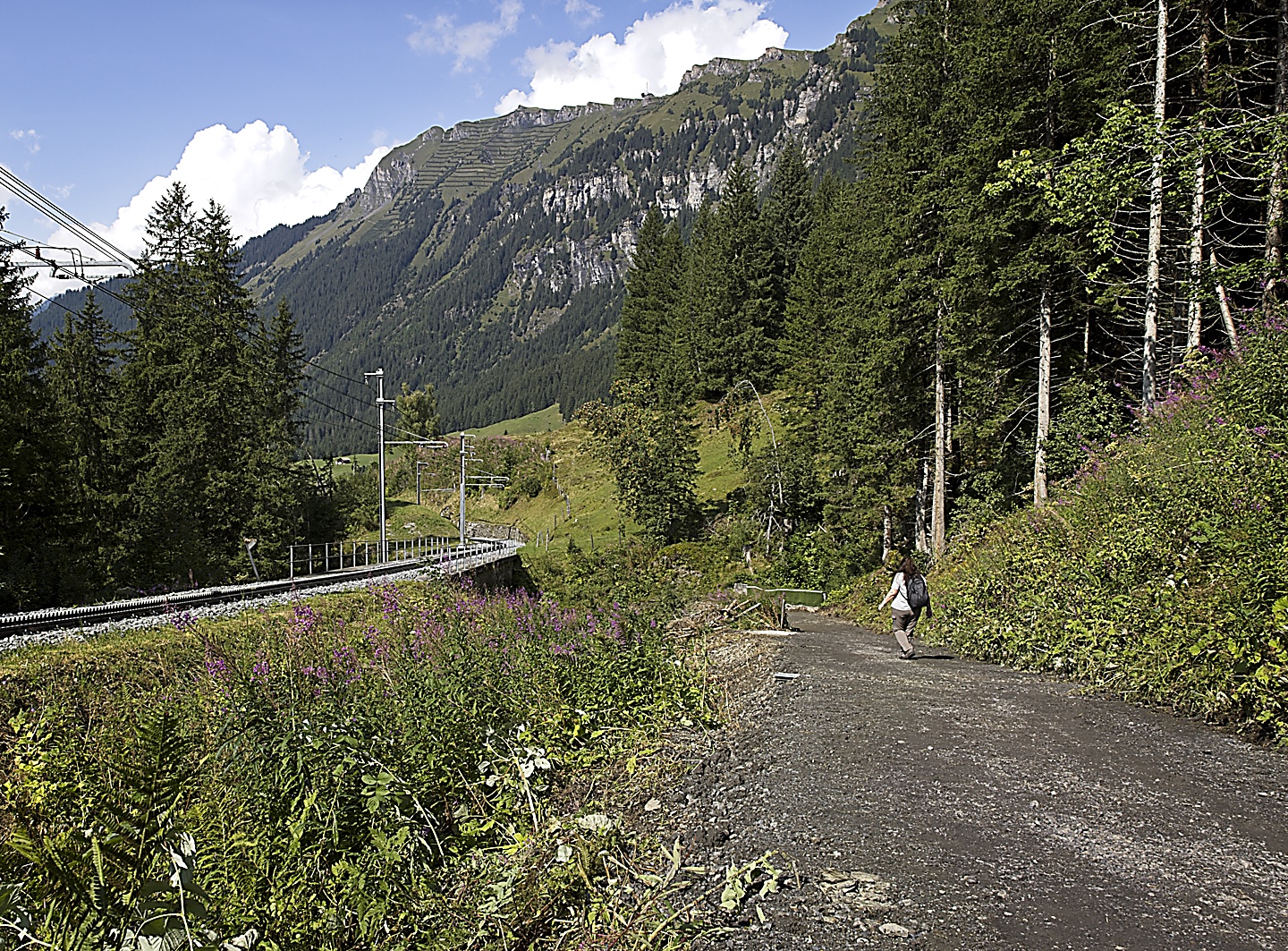
At this point, we had already gone downhill some, and the momentum of that downhill slide kept pushing us away from the train station and toward Wengen. I guess it was decided then, we would walk the rest of the way. Today we would trust the mountain to guide us and hope that it would not steer us wrong.
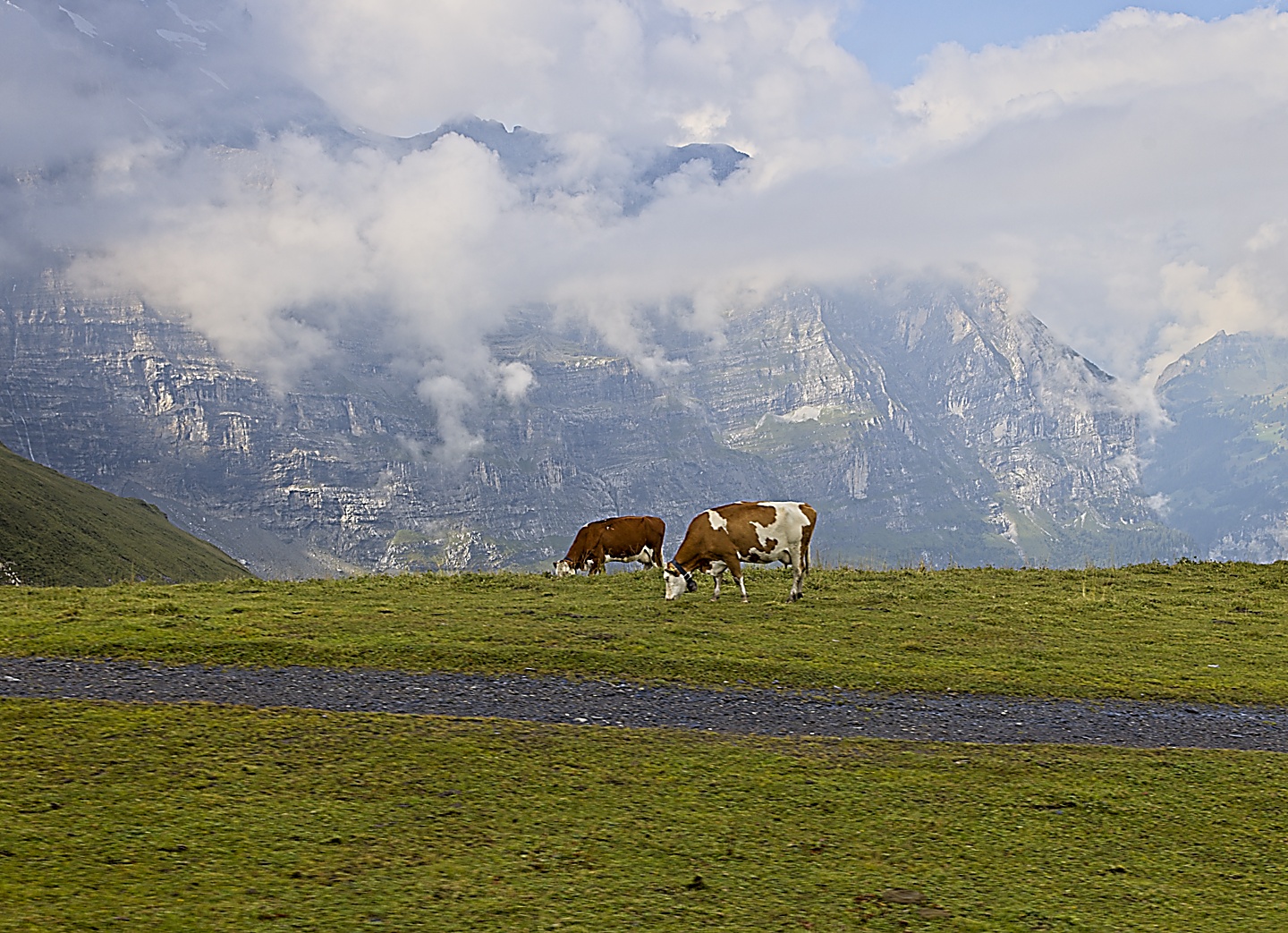
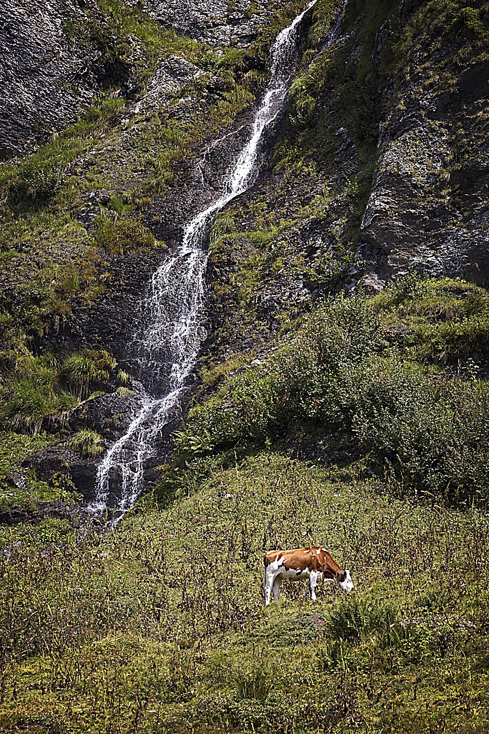
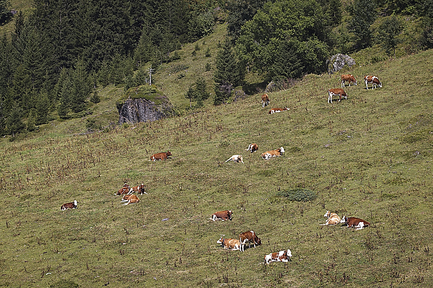
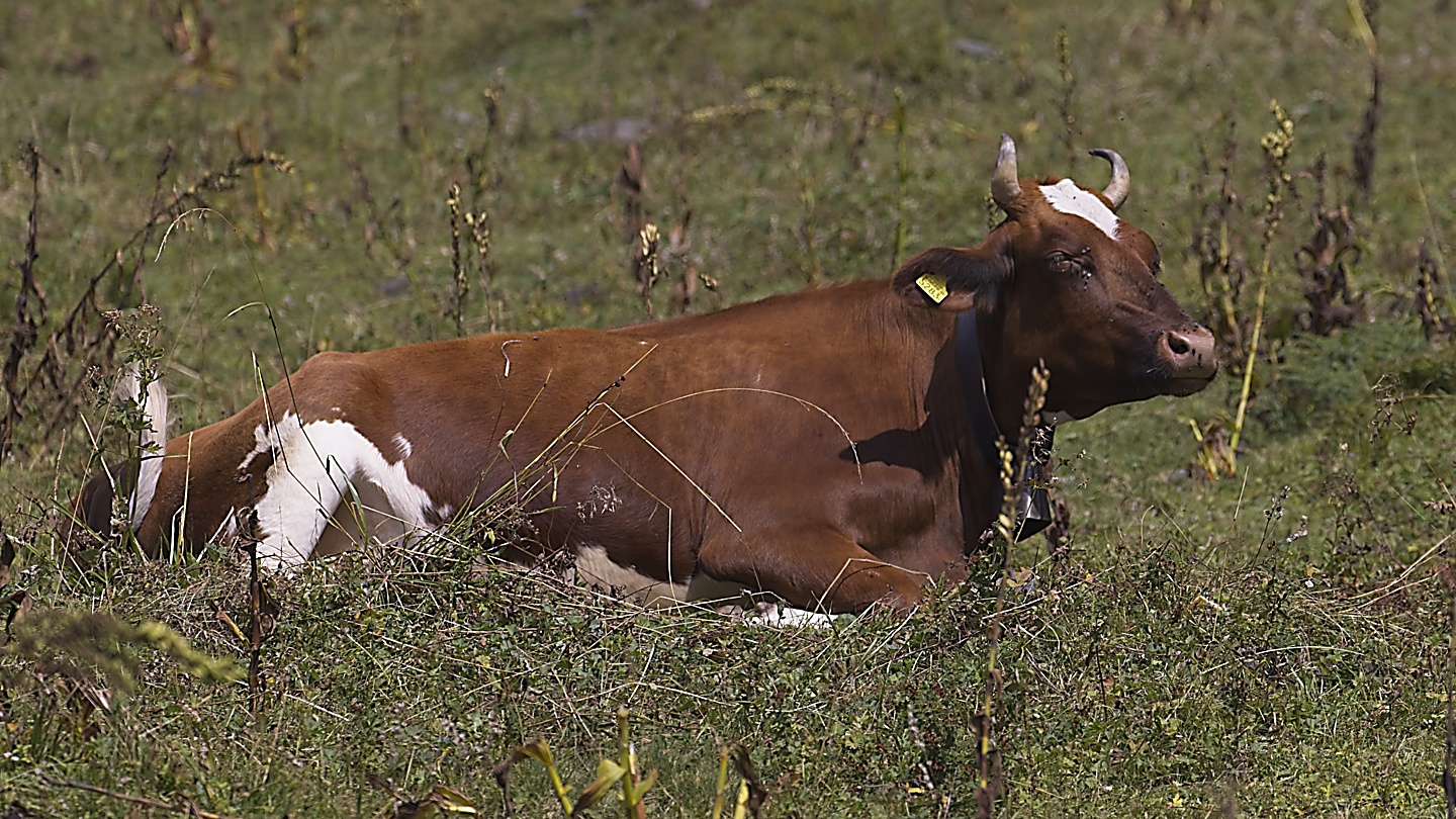
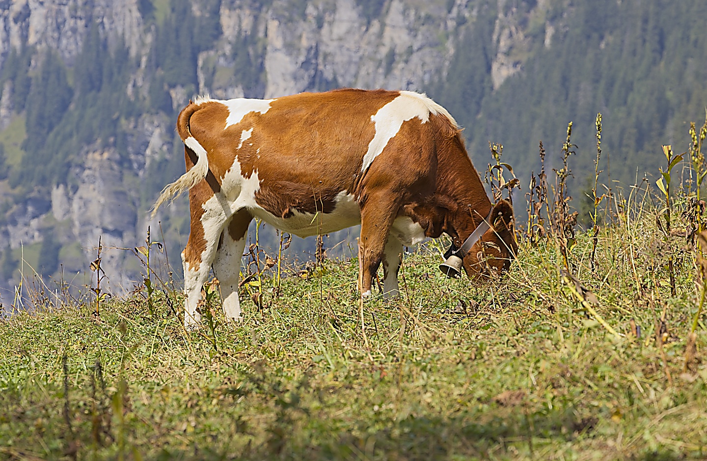
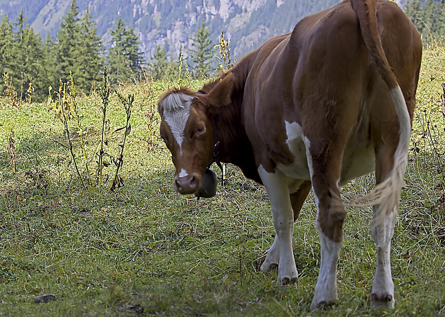
The trail roughly followed the train tracks, meandering slightly away from it at times, but always coming back. Along the way would see a plethora of cows
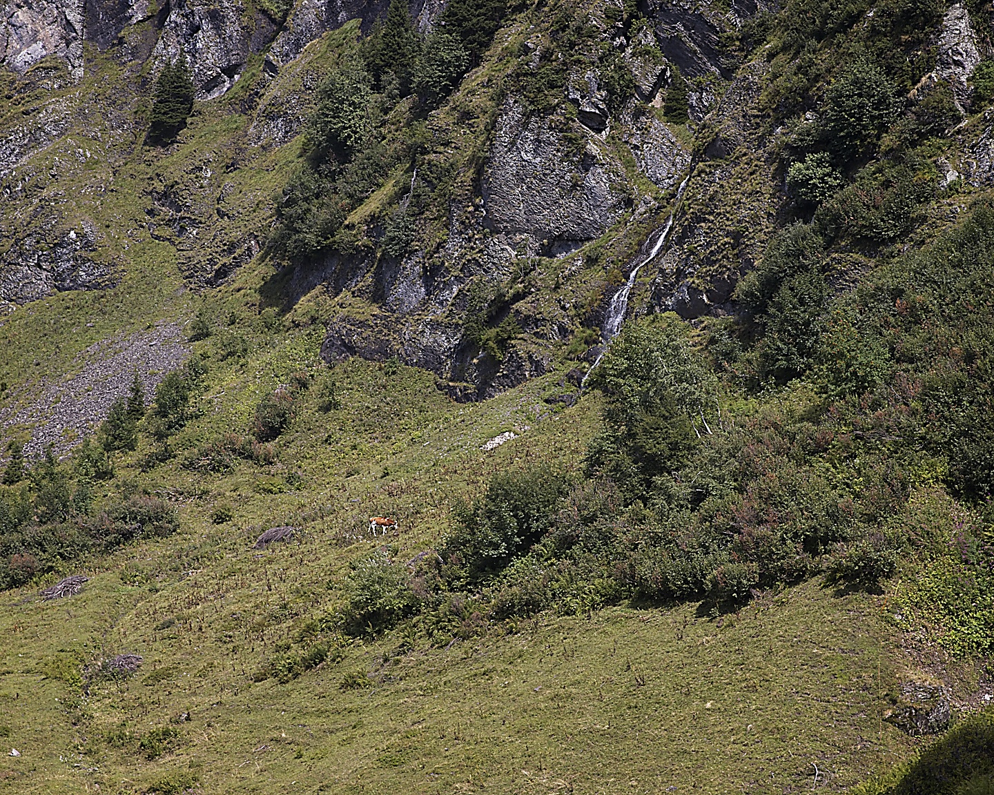
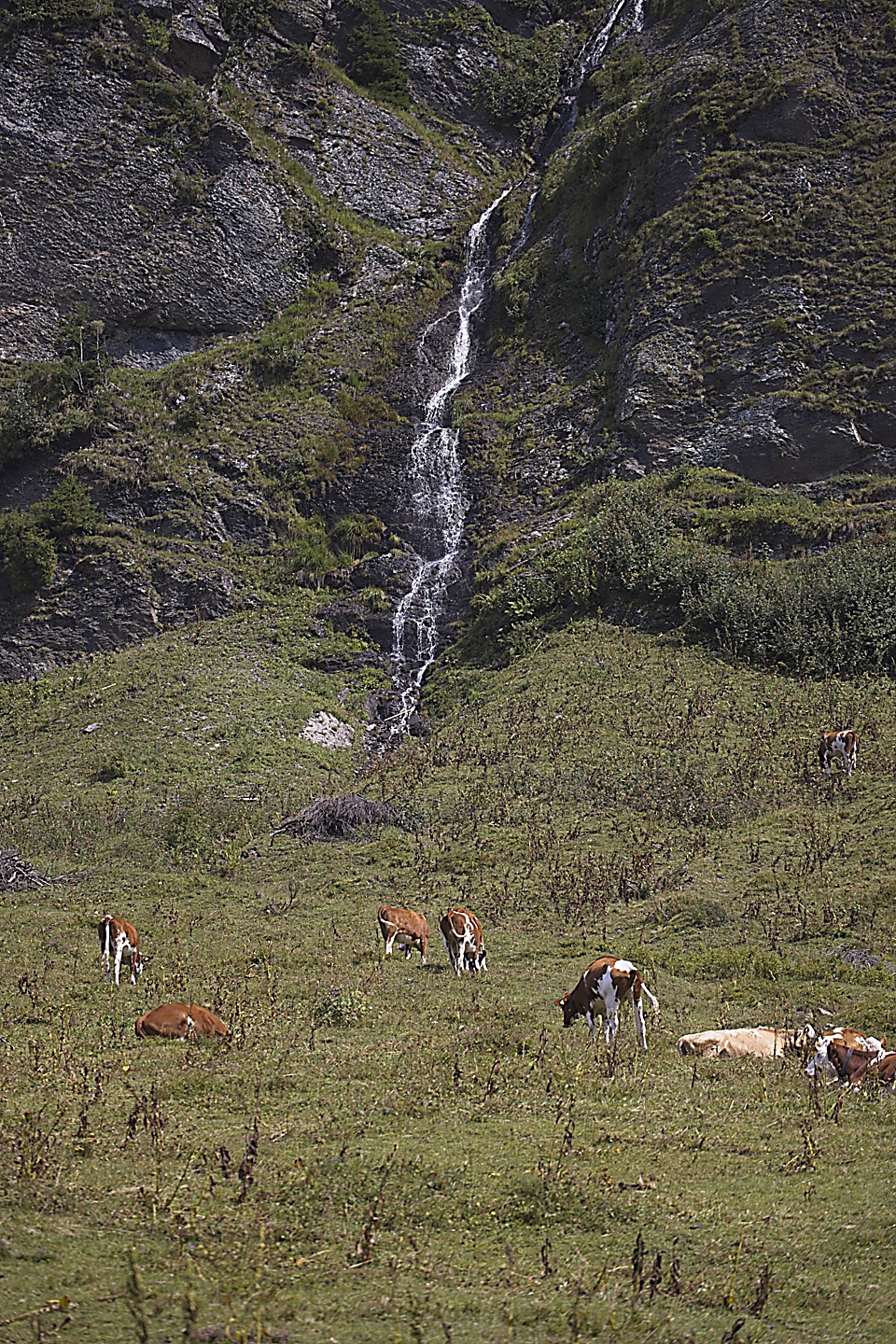
Along the way, we walked through cow pastures, but of course we had to navigate the electric fences to get in and out of the pastures that the trail intersected. I only got shocked twice trying to figure out how the things worked. Apparently for the whip-it style gates, you should only touch the yellow part.
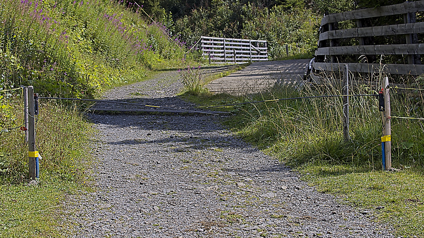
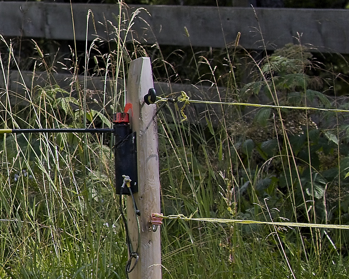
For the yellow rope-type thing, this is electrified, you shouldn’t touch it at all. It was rather low to scooch under it with a backpack, so I held it down (not knowing it was electrified) while Kristin stepped over. It took a few seconds before it decided to shock my hand, completely surprising me. Unfortunately, the shock came as Kristin was stepping over and I let go of the thing and it caught Kristin’s thigh as she was pulling her back leg over. So much for chivalry. So, now we both know how electric fences work, haha. On the gate, yellow is good, on the nylon rope, yellow is bad. It seems as though they do this to trick tourists and it worked.
As we neared Wengen, we saw a classic Swiss cafe on the outskirts of town. It had a large deck with red and white umbrellas. This was the kind of place Uncle Dolf would always stop at to enjoy a beer while us kids sipped on an Orangina while soaking up that warm alpine sun. We thought about stopping, but by this time, after exploring the Jungfraujoch and the hike down, we just wanted to get back to the condo.
Look, there is Wengen!
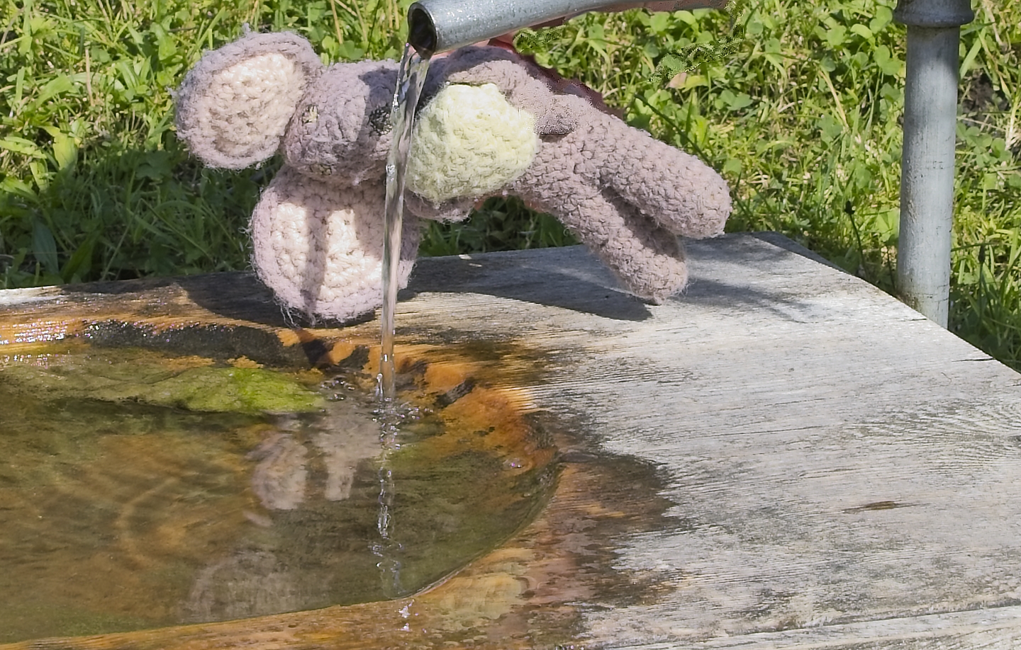
After all that hiking Squeakie needed to get some water!
The last mile is always the hardest, and we were beat, but we needed to stop at the coop to pick up some food for dinner on the way back. Luckily the coop is right near our condo. When we were in the checkout line, some scraggly American walked up behind us in line, oh wait, that’s Chris! haha. We got back to the condo and Paul and Katheryn arrived a short while later. We all traded stories of the day, ate dinner, then it was one game of Skip-Bo and bed-time for us.